

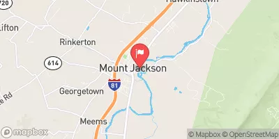
N F Shenandoah River At Mount Jackson, Va Realtime Data
N F SHENANDOAH RIVER AT MOUNT JACKSON, VA
Realtime Data • Report • Conditions
198
Discharge (cfs)
2.9
Gauge Height (ft)
Streamflow discharge was last observed at 198 cfs, and a gauge height of 2.88 feet.
With the
% decrease since yesterday,
the streamflow average over the past 10 days is 345 .
Weather today, Tomorrow,
The river is fed by various constituents, including precipitation and snowmelt. The gauge provides data that can be used to track seasonal trends in the flow of the river, which can be impacted by factors such as drought or heavy rainfall. There are several potential tributaries and dams that may impact the flow of the river, including the North Fork and South Fork of the Shenandoah River. One interesting fact about the hydrology of the area is that the river is known for its scenic beauty and is a popular spot for recreational activities such as fishing and canoeing.
October 23, 2026
| Elevation | 850.0 ft |
| Last Updated | |
| Gage height, ft | 2.88 ft |
| Nitrate plus nitrite, water, in situ, mg/L as N | 3.25 mg/l as N |
| Streamflow, ft³/s | 198.0 ft3/s |
| Specific conductance, water, unfiltered, microsiemens per centimeter at 25°C | 434.0 uS/cm @25C |
| Dissolved oxygen, water, unfiltered, mg/L | 10.1 mg/l |
| Turbidity, water, unfiltered, monochrome near infra-red LED light, 780-900 nm, detection angle 90 ±2.5°, formazin nephelometric units (FNU) | 3.2 FNU |
| pH, water, unfiltered, field, standard units | 8.4 std units |
| Temperature, water, °C | 11.4 deg C |
| Percent of Normal | 243% |
| Year Over Year Average | 81 cfs |
| 24hr Flow Prediction | cfs |
| Maximum Recorded | 13,400 cfs |
| Geolocation | 38.75, -78.64 |
 Continue with Snoflo Premium