

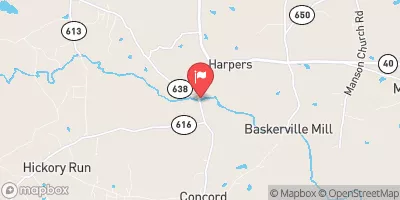
Nottoway River Near Rawlings, Va Realtime Data
NOTTOWAY RIVER NEAR RAWLINGS, VA
Realtime Data • Report • Conditions
36
Discharge (cfs)
2.3
Gauge Height (ft)
USGS 02044500
Streamflow discharge was last observed at 36 cfs, and a gauge height of 2.30 feet.
With the
% decrease since yesterday,
the streamflow average over the past 10 days is 41 .
Weather today, Tomorrow,
The river's watershed is dominated by forested areas with some farmland and wetlands. The river is fed by several tributaries, including the Blackwater River, and is impounded by the 4,600-acre Lake Chesdin. The river exhibits seasonal trends with higher flows in the winter and spring due to increased precipitation and snowmelt. Interesting facts include the Nottoway being one of the few Virginia rivers that flows eastward and having a Native American origin name meaning "long, dark stream."
October 23, 2026
| Elevation | 207.0 ft |
| Last Updated | |
| Gage height, ft | 2.3 ft |
| Streamflow, ft³/s | 35.6 ft3/s |
| Percent of Normal | 50% |
| Year Over Year Average | 72 cfs |
| 24hr Flow Prediction | cfs |
| Maximum Recorded | 22,300 cfs |
 Continue with Snoflo Premium