

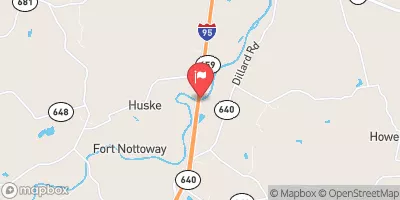
Nottoway River Near Stony Creek, Va Realtime Data
NOTTOWAY RIVER NEAR STONY CREEK, VA
Realtime Data • Report • Conditions
43
Discharge (cfs)
2.2
Gauge Height (ft)
Streamflow discharge was last observed at 43 cfs, and a gauge height of 2.18 feet.
With the
% decrease since yesterday,
the streamflow average over the past 10 days is 40 .
Weather today, Tomorrow,
The river receives water from several smaller tributaries and drains an area of approximately 1,360 square miles. The stream gauge is operated by the United States Geological Survey (USGS) and measures the river's flow rate. The flow rate of the Nottoway is highly dependent on precipitation, with the highest flows typically occurring in the spring and fall. There are no major dams on the river, but there are several smaller ones that can affect the river's flow rate. A unique feature of the Nottoway River is that it is one of the few rivers in Virginia that flows in a southerly direction.
October 23, 2026
| Elevation | 84.0 ft |
| Last Updated | |
| Gage height, ft | 2.18 ft |
| Streamflow, ft³/s | 42.7 ft3/s |
| Percent of Normal | 33% |
| Year Over Year Average | 130 cfs |
| 24hr Flow Prediction | cfs |
| Maximum Recorded | 10,900 cfs |
 Continue with Snoflo Premium