

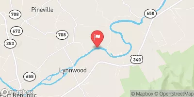
S F Shenandoah River Near Lynnwood, Va Realtime Data
S F SHENANDOAH RIVER NEAR LYNNWOOD, VA
Realtime Data • Report • Conditions
158
Discharge (cfs)
2.2
Gauge Height (ft)
Streamflow discharge was last observed at 158 cfs, and a gauge height of 2.16 feet.
With the
% decrease since yesterday,
the streamflow average over the past 10 days is 166 .
Weather today, Tomorrow,
The river is fed by several smaller tributaries and dams, including the North Fork and South Fork Shenandoah rivers. The flow of water in the river fluctuates throughout the year due to seasonal trends, with higher flows during spring and lower flows during summer and fall. Interesting facts about the hydrology of the river include the presence of limestone formations that contribute to the river's unique water chemistry and the river's role in supporting a diverse ecosystem of aquatic plants and animals. Overall, the streamgauge provides valuable data for monitoring and managing the health of the river and its surrounding ecosystem.
October 11, 2026
| Elevation | 1,010.0 ft |
| Last Updated | |
| Gage height, ft | 2.16 ft |
| Streamflow, ft³/s | 158.0 ft3/s |
| Percent of Normal | 45% |
| Year Over Year Average | 355 cfs |
| 24hr Flow Prediction | cfs |
| Maximum Recorded | 37,200 cfs |
| Geolocation | 38.32, -78.75 |
 Continue with Snoflo Premium