

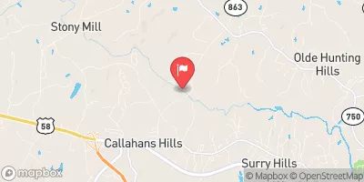
Sandy River Near Danville, Va Realtime Data
SANDY RIVER NEAR DANVILLE, VA
Realtime Data • Report • Conditions
17
Discharge (cfs)
1.0
Gauge Height (ft)
Streamflow discharge was last observed at 17 cfs, and a gauge height of 1.00 feet.
With the
% decrease since yesterday,
the streamflow average over the past 10 days is 20 .
Weather today, Tomorrow,
The primary source of flow for the Sandy River is from precipitation, with contributions from groundwater and surface runoff. The river is not dammed, but there are occasional small weirs and mill dams present. Seasonal trends show increased flow during the winter and spring months due to increased precipitation and snowmelt. Interestingly, the Sandy River has a high potential for flash flooding due to its steep and narrow channel. In 2013, the Sandy River experienced a significant flood event that caused damage to infrastructure and homes in the area.
October 22, 2026
| Elevation | 481.0 ft |
| Last Updated | |
| Gage height, ft | 1.0 ft |
| Streamflow, ft³/s | 17.3 ft3/s |
| Percent of Normal | 42% |
| Year Over Year Average | 42 cfs |
| 24hr Flow Prediction | cfs |
| Maximum Recorded | 7,390 cfs |
 Continue with Snoflo Premium