

Stony Creek Near Dinwiddie, Va Realtime Data
STONY CREEK NEAR DINWIDDIE, VA
Realtime Data • Report • Conditions
11
Discharge (cfs)
1.4
Gauge Height (ft)
Streamflow discharge was last observed at 11 cfs, and a gauge height of 1.35 feet.
With the
% decrease since yesterday,
the streamflow average over the past 10 days is 7 .
Weather today, Tomorrow,
The creek is fed by several tributaries, including Blacks Run and Rocky Branch. The flow of the creek is influenced by precipitation and land use, with the highest flows occurring in the spring and lowest flows in the summer. The hydrology of the creek is also impacted by the nearby Lake Chesdin Dam, which regulates the water level in the creek. Additionally, the creek is known for its importance to local wildlife, including the presence of freshwater mussels. Overall, the Stony Creek near Dinwiddie, VA stream gauge is an important resource for the region and should be carefully monitored to ensure its sustainability.
October 6, 2026
| Elevation | 151.0 ft |
| Last Updated | |
| Gage height, ft | 1.35 ft |
| Streamflow, ft³/s | 10.7 ft3/s |
| Percent of Normal | 116% |
| Year Over Year Average | 9 cfs |
| 24hr Flow Prediction | cfs |
| Maximum Recorded | 6,660 cfs |
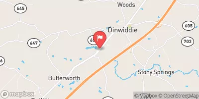
| Geolocation | 37.07, -77.60 |
 Continue with Snoflo Premium