

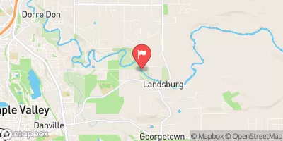
Cedar River Below Diversion Near Landsburg, Wa Realtime Data
CEDAR RIVER BELOW DIVERSION NEAR LANDSBURG, WA
Realtime Data • Report • Conditions
292
Discharge (cfs)
3.1
Gauge Height (ft)
USGS 12117600
Streamflow discharge was last observed at 292 cfs, and a gauge height of 3.11 feet.
With the
% decrease since yesterday,
the streamflow average over the past 10 days is 266 .
Weather today, Tomorrow,
The river is dammed in multiple locations, including the Landsburg and Chester Morse Reservoirs. Seasonally, flows tend to be highest in the spring and lowest in the late summer and fall. The Cedar River is an important source of drinking water for the Seattle metropolitan area. Interestingly, the river has been known to flood in the past, including a major flood in 2009 that caused significant damage to infrastructure and homes in the area.
October 13, 2026
| Elevation | 493.0 ft |
| Last Updated | |
| Gage height, ft | 3.11 ft |
| Streamflow, ft³/s | 292.0 ft3/s |
| Temperature, water, °C | 10.6 deg C |
| Percent of Normal | 83% |
| Year Over Year Average | 353 cfs |
| 24hr Flow Prediction | cfs |
| Maximum Recorded | 7,400 cfs |
 Continue with Snoflo Premium