

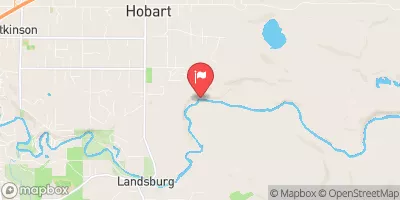
Cedar River Near Landsburg, Wa Realtime Data
CEDAR RIVER NEAR LANDSBURG, WA
Realtime Data • Report • Conditions
359
Discharge (cfs)
1.3
Gauge Height (ft)
Streamflow discharge was last observed at 359 cfs, and a gauge height of 1.31 feet.
With the
% decrease since yesterday,
the streamflow average over the past 10 days is 365 .
Weather today, Tomorrow,
The river is fed by glaciers, snowmelt, and rainfall, and is regulated by a series of dams, including the Landsburg Dam. Seasonal trends show the highest flows occur in the spring during snowmelt, while summer flows are low due to reduced precipitation. The hydrology of the river is interesting because it supports populations of chinook salmon and steelhead trout, which migrate upriver to spawn. The river also boasts a rich cultural history, as it was once home to the Cedar River Watershed, a hub of logging and milling operations in the early 20th century.
October 22, 2026
| Elevation | 590.0 ft |
| Last Updated | |
| Turbidity, water, unfiltered, monochrome near infra-red LED light, 780-900 nm, detection angle 90 ±2.5°, formazin nephelometric units (FNU) | 0.6 FNU |
| Gage height, ft | 1.31 ft |
| Temperature, water, °C | 10.6 deg C |
| Streamflow, ft³/s | 359.0 ft3/s |
| Percent of Normal | 78% |
| Year Over Year Average | 461 cfs |
| 24hr Flow Prediction | cfs |
| Maximum Recorded | 8,290 cfs |
 Continue with Snoflo Premium