

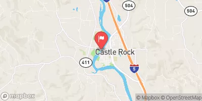
Cowlitz River At Castle Rock, Wa Realtime Data
COWLITZ RIVER AT CASTLE ROCK, WA
Realtime Data • Report • Conditions
4,010
Discharge (cfs)
33.7
Gauge Height (ft)
USGS 14243000
Streamflow discharge was last observed at 4,010 cfs, and a gauge height of 33.68 feet.
With the
% decrease since yesterday,
the streamflow average over the past 10 days is 3,998 .
Weather today, Tomorrow,
The gauge is located on the Cowlitz River, which receives water from various tributaries, including the Toutle River. The river is affected by several dams, including the Mayfield Dam and the Mossyrock Dam. The flow of the river is influenced by seasonal trends, with higher flows in the winter and lower flows in the summer. Interesting facts about the hydrology of the river include the presence of steelhead and salmon, which spawn in the river, and the fact that the river was historically used for logging and transportation.
October 15, 2026
| Elevation | 35.0 ft |
| Last Updated | |
| Water velocity reading from field sensor, feet per second | 1.65 ft/sec |
| Gage height, ft | 33.68 ft |
| Stream water level elevation above NAVD 1988, in ft | 33.11 ft |
| Streamflow, ft³/s | 4010.0 ft3/s |
| Turbidity, water, unfiltered, monochrome near infra-red LED light, 780-900 nm, detection angle 90 ±2.5°, formazin nephelometric units (FNU) | 1.7 FNU |
| Suspended sediment load, water, unfiltered, computed, the product of regression-computed suspended sediment concentration and streamflow, tons per day | 92.2 tons/day |
| Lower 90 percent prediction limit for SSC by regression (PCODE 99409), milligrams per liter | 4.4 mg/l |
| Upper 90 percent prediction limit for SSC by regression (PCODE 99409), milligrams per liter | 22.1 mg/l |
| Suspended sediment concentration, water, unfiltered, estimated by regression equation, mg/L | 8.5 mg/l |
| Percent of Normal | 91% |
| Year Over Year Average | 4,450 cfs |
| 24hr Flow Prediction | cfs |
| Maximum Recorded | 63,200 cfs |
 Continue with Snoflo Premium