

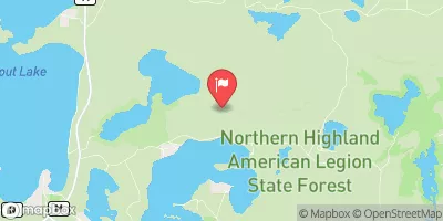
Allequash Creek Site 3 Near Boulder Junction, Wi Realtime Data
ALLEQUASH CREEK SITE 3 NEAR BOULDER JUNCTION, WI
Realtime Data • Report • Conditions
4
Discharge (cfs)
0.5
Gauge Height (ft)
USGS 05357206
Streamflow discharge was last observed at 4 cfs, and a gauge height of 0.52 feet.
With the
% decrease since yesterday,
the streamflow average over the past 10 days is 4 .
Weather today, Tomorrow,
The flow of the stream is influenced by precipitation events, snowmelt, and groundwater inputs. The gauge provides data for the US Geological Survey and is used to monitor the flow of the creek in order to make water management decisions. There are no major dams or tributaries that significantly affect the flow of the creek. Seasonal trends in flow include higher flows in the spring due to snowmelt and precipitation, and lower flows in the late summer and fall. There are no quirky or interesting facts about the hydrology of this site.
October 21, 2026
| Elevation | 1,629.0 ft |
| Last Updated | |
| Gage height, ft | -999999.0 ft |
| Stream water level elevation above NAVD 1988, in ft | -999999.0 ft |
| Streamflow, ft³/s | -999999.0 ft3/s |
| Temperature, water, degC | 3.8 deg C |
| Precipitation, total, in | -999999.0 in |
| Percent of Normal | 73% |
| Year Over Year Average | 5 cfs |
| 24hr Flow Prediction | cfs |
| Maximum Recorded | 58 cfs |
| Geolocation | 46.03, -89.61 |
 Continue with Snoflo Premium