WISCONSIN SNOW REPORT
Last Updated: February 13, 2026
Snowpack levels across the state are currently 91% of normal.
The deepest snowpack in Wisconsin
was last observed at
Rest Lake
with a
snowpack depth of
25”,
about 162%
of normal when compared to it's
15"
average depth for this time of year.
Fish Creek 1 E Wwtp,
perched at an elevation of
640 ft.,
is currently experiencing some of the coldest temps in
Wisconsin
with air temps last recorded at
26 degrees.
Wisconsin Snowpack Map
Explore real-time snowpack depths across Wisconsin.
Wisconsin Ski Area Forecast
Next 15 Days
-
 Alpine Valley Resort
-
 Bruce Mound Ski Area
-
 Camp 10
-
 Cascade Mountain
-
 Christie Mountain Ski Area
-
 Christmas Mountain Village
-
 Devil's Head Resort
-
 Fox Hill Ski Area
-
 Granite Peak
-
 Hardscrabble
-
 Kettlebowl
-
 Little Switzerland
-
 Mount Ashwabay
-
 Mt. Lacrosse
-
 Navarino Hills
-
 Sunburst Ski Area
-
 The Mountain Top At Grand Geneva Resort
-
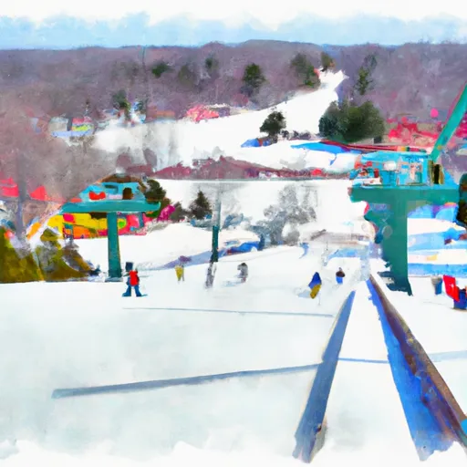 Trollhaugen Ski Area
-
 Tyrol Basin
-
 Wilmot Mountain
Wisconsin Snow Report FAQs
How often is this report updated?
Daily from SNOTEL and NOAA sources.
What are snowpack levels in Wisconsin like right now?
Snowpack levels across Wisconsin are approximately 91.0% of normal compared to previous years.
Where is it coldest in Wisconsin right now?
Fish Creek 1 E Wwtp is experiencing frigid temperatures of 26°.
Where is the most snow in Wisconsin today?
Currently at Rest Lake with 25".
