

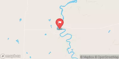
Bad River Near Odanah, Wi Realtime Data
BAD RIVER NEAR ODANAH, WI
Realtime Data • Report • Conditions
81
Discharge (cfs)
2.2
Gauge Height (ft)
Streamflow discharge was last observed at 81 cfs, and a gauge height of 2.24 feet.
With the
% decrease since yesterday,
the streamflow average over the past 10 days is 73 .
Weather today, Tomorrow,
The river is fed by several tributaries, including the White River and the Tyler Forks River. The flow of the Bad River is affected by seasonal trends, with high flows occurring in the spring due to snowmelt and lower flows in the summer and fall. The river also has several dams, including the Ashland-Bad River Dam, which provides hydroelectric power to the area. A unique feature of the Bad River is its importance to the local Ojibwe tribe, who use the river for fishing and cultural activities. Overall, the Bad River provides valuable information for understanding hydrological processes in the region.
October 5, 2026
| Elevation | 692.0 ft |
| Last Updated | |
| Gage height, ft | 2.24 ft |
| Stream water level elevation above NAVD 1988, in ft | 670.58 ft |
| Streamflow, ft³/s | 80.8 ft3/s |
| Specific conductance, water, unfiltered, microsiemens per centimeter at 25°C | 230.0 uS/cm @25C |
| Dissolved oxygen, water, unfiltered, mg/L | 10.3 mg/l |
| Turbidity, water, unfiltered, monochrome near infra-red LED light, 780-900 nm, detection angle 90 ±2.5°, formazin nephelometric units (FNU) | 7.1 FNU |
| pH, water, unfiltered, field, standard units | 8.2 std units |
| Temperature, water, °C | 12.2 deg C |
| Percent of Normal | 29% |
| Year Over Year Average | 283 cfs |
| 24hr Flow Prediction | cfs |
| Maximum Recorded | 24,100 cfs |
| Geolocation | 46.49, -90.70 |
 Continue with Snoflo Premium