

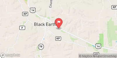
Black Earth Creek At Black Earth, Wi Realtime Data
BLACK EARTH CREEK AT BLACK EARTH, WI
Realtime Data • Report • Conditions
40
Discharge (cfs)
2.1
Gauge Height (ft)
Streamflow discharge was last observed at 40 cfs, and a gauge height of 2.14 feet.
With the
% decrease since yesterday,
the streamflow average over the past 10 days is 44 .
Weather today, Tomorrow,
The creek is fed by groundwater, precipitation, and surface runoff. There are no major tributaries or dams on the creek, but it does have some smaller tributaries that contribute to its flow. The creek experiences seasonal flow variations, with the highest flows occurring in the spring due to snowmelt and precipitation, and the lowest flows in the summer and fall. The hydrology of the Black Earth Creek is interesting due to the unique geology of the region. The creek flows through the Driftless Area, a region that was not touched by glaciation during the last Ice Age, resulting in unique geological features and diverse ecosystems.
October 11, 2026
| Elevation | 819.0 ft |
| Last Updated | |
| Gage height, ft | 2.14 ft |
| Stream water level elevation above NAVD 1988, in ft | 813.43 ft |
| Streamflow, ft³/s | 39.6 ft3/s |
| Specific conductance, water, unfiltered, microsiemens per centimeter at 25°C | 637.0 uS/cm @25C |
| Dissolved oxygen, water, unfiltered, mg/L | 8.8 mg/l |
| Turbidity, water, unfiltered, monochrome near infra-red LED light, 780-900 nm, detection angle 90 ±2.5°, formazin nephelometric units (FNU) | 5.1 FNU |
| pH, water, unfiltered, field, standard units | 8.1 std units |
| Temperature, water, degC | 13.2 deg C |
| Percent of Normal | 96% |
| Year Over Year Average | 42 cfs |
| 24hr Flow Prediction | cfs |
| Maximum Recorded | 900 cfs |
| Geolocation | 43.13, -89.73 |
 Continue with Snoflo Premium