

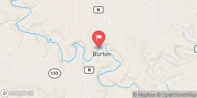
Grant River At Burton, Wi Realtime Data
GRANT RIVER AT BURTON, WI
Realtime Data • Report • Conditions
271
Discharge (cfs)
6.0
Gauge Height (ft)
Streamflow discharge was last observed at 271 cfs, and a gauge height of 6.03 feet.
With the
% decrease since yesterday,
the streamflow average over the past 10 days is 297 .
Weather today, Tomorrow,
The river is mainly fed by groundwater and precipitation, with no major tributaries or dams in the immediate area. The flow is typically highest in the spring due to snowmelt and precipitation, while summer and fall flows are lower. The river is known for its diverse fish population, including smallmouth bass and trout. Interestingly, the river played a role in early Wisconsin history as a transportation route for lead mining in the area. Overall, the Grant River at Burton, WI stream gauge serves as an important tool for monitoring the health of the river and its ecosystems.
October 22, 2026
| Elevation | 622.0 ft |
| Last Updated | |
| Gage height, ft | 6.03 ft |
| Stream water level elevation above NAVD 1988, in ft | 612.17 ft |
| Streamflow, ft³/s | 271.0 ft3/s |
| Percent of Normal | 158% |
| Year Over Year Average | 171 cfs |
| 24hr Flow Prediction | cfs |
| Maximum Recorded | 13,000 cfs |
 Continue with Snoflo Premium