

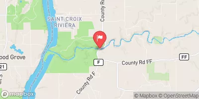
Kinnickinnic River Near River Falls, Wi Realtime Data
KINNICKINNIC RIVER NEAR RIVER FALLS, WI
Realtime Data • Report • Conditions
93
Discharge (cfs)
8.2
Gauge Height (ft)
Streamflow discharge was last observed at 91 cfs, and a gauge height of 8.23 feet.
With the
% decrease since yesterday,
the streamflow average over the past 10 days is 97 .
Weather today, Tomorrow,
The river is primarily fed by groundwater and is known for its excellent trout fishing. The Kinnickinnic River has several tributaries, including Cedar Creek and Trout Brook. Seasonal trends show that the river's flow is highest in the springtime due to snowmelt and precipitation, while flow is lowest in the late summer and fall. The river is also home to several dams, including the Junction Falls Dam and the Kinnickinnic State Park Dam. Interestingly, the Kinnickinnic River is named after the Native American word for "what is mixed," referring to the river's clear water mixing with the sediment from its gravel bottom.
October 23, 2026
| Elevation | 703.0 ft |
| Last Updated | |
| Gage height, ft | 8.23 ft |
| Streamflow, ft³/s | 91.3 ft3/s |
| Stream water level elevation above NAVD 1988, in ft | 686.64 ft |
| Percent of Normal | 79% |
| Year Over Year Average | 119 cfs |
| 24hr Flow Prediction | cfs |
| Maximum Recorded | 3,580 cfs |
 Continue with Snoflo Premium