

Namekagon River At Leonards, Wi Realtime Data
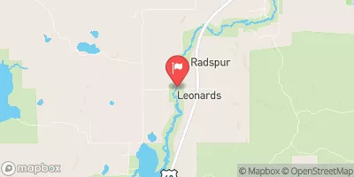
NAMEKAGON RIVER AT LEONARDS, WI
Realtime Data • Report • Conditions
44
Discharge (cfs)
1.4
Gauge Height (ft)
Streamflow discharge was last observed at 44 cfs, and a gauge height of 1.37 feet.
With the
% decrease since yesterday,
the streamflow average over the past 10 days is 46 .
Weather today, Tomorrow,
Croix River, which eventually flows into the Mississippi River. The flow of the Namekagon River is affected by the melting of snow and rainfall. During spring, the river experiences high water flow, while in summer, the flow tends to be low. The Namekagon River has several tributaries, including the Totogatic River and the Eau Claire River. There are no major dams on the Namekagon River. The hydrology of the Namekagon River is interesting because it is home to diverse aquatic life such as muskellunge, walleye, and smallmouth bass. Moreover, the river is a popular destination for canoeing, kayaking, and fishing.
October 22, 2026
| Elevation | 1,287.0 ft |
| Last Updated | |
| Gage height, ft | 1.37 ft |
| Stream water level elevation above NAVD 1988, in ft | 1273.74 ft |
| Temperature, water, °C | 8.7 deg C |
| Streamflow, ft³/s | 44.1 ft3/s |
| Percent of Normal | 34% |
| Year Over Year Average | 132 cfs |
| 24hr Flow Prediction | cfs |
| Maximum Recorded | 1,210 cfs |
 Continue with Snoflo Premium