

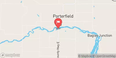
Peshtigo River At Porterfield, Wi Realtime Data
PESHTIGO RIVER AT PORTERFIELD, WI
Realtime Data • Report • Conditions
563
Discharge (cfs)
8.1
Gauge Height (ft)
Streamflow discharge was last observed at 563 cfs, and a gauge height of 8.10 feet.
With the
% decrease since yesterday,
the streamflow average over the past 10 days is 517 .
Weather today, Tomorrow,
It is fed by several tributaries, including the Thunder River, and is subject to the influence of nearby dams such as the Peshtigo Dam. The flow is subject to seasonal trends, with higher levels in the spring due to snowmelt and precipitation, and lower levels in the summer months. The river's hydrology is also affected by the unique geology of the area, with granite bedrock creating fast-moving rapids and waterfalls. Overall, the Peshtigo River at Porterfield provides valuable data for researchers and helps to inform water management decisions in the region.
October 25, 2026
| Elevation | 647.0 ft |
| Last Updated | |
| Gage height, ft | 8.1 ft |
| Streamflow, ft³/s | 563.0 ft3/s |
| Stream water level elevation above NAVD 1988, in ft | 621.53 ft |
| Percent of Normal | 80% |
| Year Over Year Average | 709 cfs |
| 24hr Flow Prediction | cfs |
| Maximum Recorded | 6,310 cfs |
 Continue with Snoflo Premium