

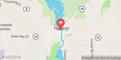
Rock River At Horicon, Wi Realtime Data
ROCK RIVER AT HORICON, WI
Realtime Data • Report • Conditions
250
Discharge (cfs)
7.0
Gauge Height (ft)
USGS 05424057
Streamflow discharge was last observed at 250 cfs, and a gauge height of 7.00 feet.
With the
% decrease since yesterday,
the streamflow average over the past 10 days is 308 .
Weather today, Tomorrow,
The Rock River's constituents include agricultural drainage, wastewater effluent, and urban runoff. There are numerous dams on the Rock River, including the Horicon Dam, which can impact flow rates. Seasonal trends show that flow rates typically peak in the spring due to snow melt and precipitation, and then decrease in the summer and fall. An interesting fact about the Rock River is that it played a significant role in the transportation of goods during the 19th century, with steamboats traveling up and down the river.
October 11, 2026
| Elevation | 879.0 ft |
| Last Updated | |
| Mean water velocity for discharge computation, feet per second | 0.51 ft/sec |
| Gage height, ft | 7.0 ft |
| Streamflow, ft³/s | 250.0 ft3/s |
| Stream water level elevation above NAVD 1988, in ft | 856.48 ft |
| Percent of Normal | 195% |
| Year Over Year Average | 128 cfs |
| 24hr Flow Prediction | cfs |
| Maximum Recorded | 2,650 cfs |
 Continue with Snoflo Premium