

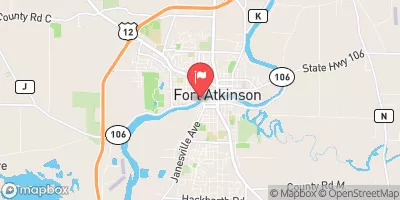
Rock River At Robert Street At Fort Atkinson, Wi Realtime Data
ROCK RIVER AT ROBERT STREET AT FORT ATKINSON, WI
Realtime Data • Report • Conditions
2,620
Discharge (cfs)
12.5
Gauge Height (ft)
USGS 05427085
Streamflow discharge was last observed at 2,620 cfs, and a gauge height of 12.47 feet.
With the
% decrease since yesterday,
the streamflow average over the past 10 days is 2,468 .
Weather today, Tomorrow,
The river is primarily fed by precipitation and snowmelt, and it is influenced by several tributaries, including the Crawfish River and the Bark River. The river's flow is regulated by several dams, including the Rock River Dam located in downtown Fort Atkinson. The flow of the river is generally highest in the spring due to snowmelt and lower in the summer and fall. An interesting fact about the Rock River is that it was used as a major transportation route for steamboats in the 19th century.
October 6, 2026
| Elevation | 774.0 ft |
| Last Updated | |
| Mean water velocity for discharge computation, feet per second | 1.67 ft/sec |
| Gage height, ft | 12.47 ft |
| Stream water level elevation above NAVD 1988, in ft | 777.63 ft |
| Streamflow, ft³/s | 2620.0 ft3/s |
| Percent of Normal | 396% |
| Year Over Year Average | 660 cfs |
| 24hr Flow Prediction | cfs |
| Maximum Recorded | 11,500 cfs |
 Continue with Snoflo Premium