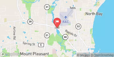
Streamflow discharge was last observed at 433 cfs, and a gauge height of 3.71 feet.
With the
% decrease since yesterday,
the streamflow average over the past 10 days is 81 .
Weather today, Tomorrow,
The river is primarily fed by groundwater and precipitation. There are several small tributaries that contribute to the river's flow, but no major dams. The river experiences seasonal fluctuations with higher flows in the spring due to snowmelt and precipitation. During the summer months, the flow decreases due to lower precipitation and increased evaporation. Interestingly, the river has been the focus of restoration efforts to improve water quality and fish habitats.
| Elevation | 644.0 ft |
| Last Updated | |
| Gage height, ft | 3.71 ft |
| Streamflow, ft³/s | 433.0 ft3/s |
| Stream water level elevation above NAVD 1988, in ft | 617.37 ft |
| Percent of Normal | 1,882% |
| Year Over Year Average | 23 cfs |
| 24hr Flow Prediction | cfs |
| Maximum Recorded | 4,110 cfs |