

South Branch Rock River At Waupun, Wi Realtime Data
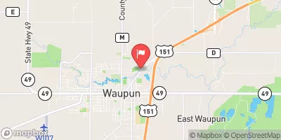
SOUTH BRANCH ROCK RIVER AT WAUPUN, WI
Realtime Data • Report • Conditions
19
Discharge (cfs)
2.2
Gauge Height (ft)
Streamflow discharge was last observed at 19 cfs, and a gauge height of 2.24 feet.
With the
% decrease since yesterday,
the streamflow average over the past 10 days is 28 .
Weather today, Tomorrow,
The river receives water from several constituents, including rainfall, snowmelt, and agricultural runoff. It also has several tributaries and dams that affect its flow, such as the Fond du Lac River and the Horicon Marsh Dam. The river's flow varies seasonally, with high flows during the spring and summer months and low flows during the fall and winter. The hydrology of the South Branch Rock River is also affected by local conditions, such as land use and precipitation patterns. Interestingly, the river is also a popular destination for recreational activities like fishing and boating.
October 9, 2026
| Elevation | 885.0 ft |
| Last Updated | |
| Gage height, ft | 2.24 ft |
| Stream water level elevation above NAVD 1988, in ft | 865.77 ft |
| Streamflow, ft³/s | 18.7 ft3/s |
| Percent of Normal | 133% |
| Year Over Year Average | 14 cfs |
| 24hr Flow Prediction | cfs |
| Maximum Recorded | 1,510 cfs |
| Geolocation | 43.64, -88.72 |
 Continue with Snoflo Premium