

Sugar River Near Brodhead, Wi Realtime Data
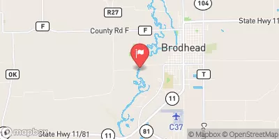
SUGAR RIVER NEAR BRODHEAD, WI
Realtime Data • Report • Conditions
382
Discharge (cfs)
1.4
Gauge Height (ft)
USGS 05436500
Streamflow discharge was last observed at 382 cfs, and a gauge height of 1.36 feet.
With the
% decrease since yesterday,
the streamflow average over the past 10 days is 451 .
Weather today, Tomorrow,
The river receives water from several tributaries, including Turtle Creek, and flows through several dams, including the Albany Dam. Seasonal trends show that the river experiences low flow during the summer months and high flow during the spring snowmelt and fall rains. The river also has interesting quirks, including being home to several species of fish and being a popular spot for canoeing and kayaking. Overall, the Sugar River is a vital resource for both the environment and recreational activities in the area.
October 14, 2026
| Elevation | 780.0 ft |
| Last Updated | |
| Gage height, ft | 1.36 ft |
| Precipitation, total, in | 0.0 in |
| Stream water level elevation above NAVD 1988, in ft | 769.34 ft |
| Streamflow, ft³/s | 382.0 ft3/s |
| Percent of Normal | 95% |
| Year Over Year Average | 406 cfs |
| 24hr Flow Prediction | cfs |
| Maximum Recorded | 8,740 cfs |
 Continue with Snoflo Premium