

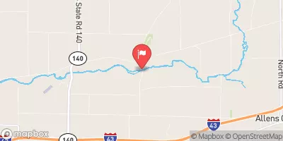
Turtle Creek At Carvers Rock Road Near Clinton, Wi Realtime Data
TURTLE CREEK AT CARVERS ROCK ROAD NEAR CLINTON, WI
Realtime Data • Report • Conditions
175
Discharge (cfs)
4.1
Gauge Height (ft)
Streamflow discharge was last observed at 175 cfs, and a gauge height of 4.05 feet.
With the
% decrease since yesterday,
the streamflow average over the past 10 days is 330 .
Weather today, Tomorrow,
The creek is fed by various small tributaries and runoff from surrounding agricultural areas. There are no major dams on the creek, but there are some smaller structures used for irrigation purposes. The flow rate of the creek tends to be highest in the spring due to snowmelt and precipitation, and lowest in the summer and fall when there is less rainfall. Quirky/interesting facts about the hydrology of the creek are not readily available, but it is an important resource for the local ecosystem and provides recreational opportunities for nearby communities.
October 11, 2026
| Elevation | 853.0 ft |
| Last Updated | |
| Gage height, ft | 4.05 ft |
| Stream water level elevation above NAVD 1988, in ft | 827.32 ft |
| Streamflow, ft³/s | 175.0 ft3/s |
| Percent of Normal | 198% |
| Year Over Year Average | 88 cfs |
| 24hr Flow Prediction | cfs |
| Maximum Recorded | 4,300 cfs |
| Geolocation | 42.60, -88.83 |
 Continue with Snoflo Premium