

Whittlesey Creek Near Ashland, Wi Realtime Data
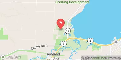
WHITTLESEY CREEK NEAR ASHLAND, WI
Realtime Data • Report • Conditions
23
Discharge (cfs)
2.7
Gauge Height (ft)
Streamflow discharge was last observed at 23 cfs, and a gauge height of 2.71 feet.
With the
% decrease since yesterday,
the streamflow average over the past 10 days is 21 .
Weather today, Tomorrow,
The stream's flow is influenced by precipitation, snow melt, and groundwater. The creek has several potential tributaries and dams that may impact its flow, including the Tyler Forks River and the Whittlesey Creek Dam. Seasonal trends show that flow is highest during spring snow melt and precipitation events, and lowest during dry summer months. Interestingly, the Whittlesey Creek watershed has a high percentage of wetlands, which can act as natural water storage and filtration systems. The hydrology of Whittlesey Creek offers an opportunity for further study and understanding of the unique characteristics of northern Wisconsin watersheds.
October 6, 2026
| Elevation | 613.0 ft |
| Last Updated | |
| Gage height, ft | 2.71 ft |
| Precipitation, total, in | 0.0 in |
| Stream water level elevation above NAVD 1988, in ft | 612.46 ft |
| Streamflow, ft³/s | 23.0 ft3/s |
| Percent of Normal | 115% |
| Year Over Year Average | 20 cfs |
| 24hr Flow Prediction | cfs |
| Maximum Recorded | 744 cfs |
| Geolocation | 46.59, -90.96 |
 Continue with Snoflo Premium