

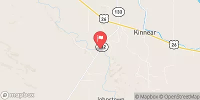
Wind River Near Kinnear, Wy Realtime Data
WIND RIVER NEAR KINNEAR, WY
Realtime Data • Report • Conditions
594
Discharge (cfs)
4.1
Gauge Height (ft)
USGS 06227600
Streamflow discharge was last observed at 581 cfs, and a gauge height of 4.05 feet.
With the
% decrease since yesterday,
the streamflow average over the past 10 days is 732 .
Weather today, Tomorrow,
The river is fed by snowmelt from the Wind River Range and other nearby mountains. There are no major dams on the river, but there are several small diversion structures that provide irrigation water to nearby farms. The flow of the river is highest in the spring when the snow melts and decreases in the summer and fall. Interestingly, the Wind River is known for its excellent trout fishing, with brown, rainbow, and cutthroat trout all found in its waters.
October 23, 2026
| Elevation | 5,287.0 ft |
| Last Updated | |
| Gage height, ft | 4.05 ft |
| Streamflow, ft³/s | 581.0 ft3/s |
| Stream water level elevation above NAVD 1988, in ft | 5279.98 ft |
| Temperature, water, degC | 1.6 deg C |
| Percent of Normal | 98% |
| Year Over Year Average | 609 cfs |
| 24hr Flow Prediction | cfs |
| Maximum Recorded | 11,900 cfs |
 Continue with Snoflo Premium