
Carters Re-Regulation Lake Near Carters Reservoir Report
Nearby: Carters Main Dam Evans Lake Dam
Last Updated: January 11, 2026
Carter's Reservoir, located near Carter's, GA, was created in 1977 as a result of the construction of the Carters Dam.
°F
°F
mph
Wind
%
Humidity
Summary
The dam was built to control flooding and provide a source of hydroelectric power to the area. The reservoir is fed by the Coosawattee River and has a capacity of 445,000 acre-feet. The hydrology of the reservoir is influenced by both surface flow and snowpack from the nearby Appalachian Mountains. The reservoir is used for agricultural irrigation and is also a popular location for recreational activities such as fishing and boating. In recent years, there has been a push for increased regulation of the lake due to concerns about water quality and the impact of agricultural practices on the surrounding ecosystem.
Reservoir Details
| Lake Or Reservoir Water Surface Elevation Above Ngvd 1929, Ft 24hr Change | -0.52% |
| Percent of Normal | 100% |
| Minimum |
671.92 ft
2023-01-25 |
| Maximum |
696.6 ft
2017-04-07 |
| Average | 685 ft |
| Dam_Height | 51.5 |
| Hydraulic_Height | 46 |
| Drainage_Area | 520 |
| Year_Completed | 1974 |
| Nid_Storage | 19000 |
| Hazard_Potential | High |
| Structural_Height | 105 |
| River_Or_Stream | COOSAWATTEE RIVER |
| Surface_Area | 870 |
| Dam_Length | 3350 |
| Primary_Dam_Type | Rockfill |
| Nid_Height | 105 |
Seasonal Comparison
Elevation Of Reservoir Water Surface Above Datum, Ft Levels
Lake Or Reservoir Water Surface Elevation Above Ngvd 1929, Ft Levels
Weather Forecast
Nearby Streamflow Levels
 Coosawattee River At Carters
|
649cfs |
 Talking Rock Creek Near Hinton
|
725cfs |
 Coosawattee River Near Pine Chapel
|
3710cfs |
 Holly Creek Near Chatsworth
|
913cfs |
 Coosawattee River Near Ellijay
|
2150cfs |
 Fausett Creek Near Talking Rock
|
104cfs |
Dam Data Reference
Condition Assessment
SatisfactoryNo existing or potential dam safety deficiencies are recognized. Acceptable performance is expected under all loading conditions (static, hydrologic, seismic) in accordance with the minimum applicable state or federal regulatory criteria or tolerable risk guidelines.
Fair
No existing dam safety deficiencies are recognized for normal operating conditions. Rare or extreme hydrologic and/or seismic events may result in a dam safety deficiency. Risk may be in the range to take further action. Note: Rare or extreme event is defined by the regulatory agency based on their minimum
Poor A dam safety deficiency is recognized for normal operating conditions which may realistically occur. Remedial action is necessary. POOR may also be used when uncertainties exist as to critical analysis parameters which identify a potential dam safety deficiency. Investigations and studies are necessary.
Unsatisfactory
A dam safety deficiency is recognized that requires immediate or emergency remedial action for problem resolution.
Not Rated
The dam has not been inspected, is not under state or federal jurisdiction, or has been inspected but, for whatever reason, has not been rated.
Not Available
Dams for which the condition assessment is restricted to approved government users.
Hazard Potential Classification
HighDams assigned the high hazard potential classification are those where failure or mis-operation will probably cause loss of human life.
Significant
Dams assigned the significant hazard potential classification are those dams where failure or mis-operation results in no probable loss of human life but can cause economic loss, environment damage, disruption of lifeline facilities, or impact other concerns. Significant hazard potential classification dams are often located in predominantly rural or agricultural areas but could be in areas with population and significant infrastructure.
Low
Dams assigned the low hazard potential classification are those where failure or mis-operation results in no probable loss of human life and low economic and/or environmental losses. Losses are principally limited to the owner's property.
Undetermined
Dams for which a downstream hazard potential has not been designated or is not provided.
Not Available
Dams for which the downstream hazard potential is restricted to approved government users.
 Woodring Branch - Carters Lake
 Harris Branch - Carters Lake
 Doll Mountain - Carters Lake
 Ridgeway - Carters Lake
 Salacoa Creek Park
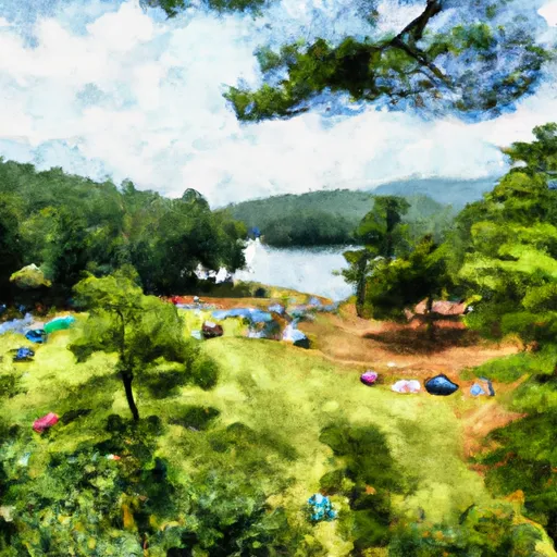
 Backcountry Campsite #2
 Carters Re-Regulation Dam
 Carters Re-Regulation Lake Near Carters