Buckeye Frs #1 Reservoir Report
Nearby: Buckeye Frs #2 Buckeye Frs #3
Last Updated: January 8, 2026
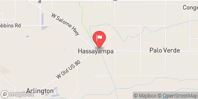
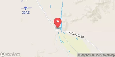
Buckeye FRS #1, located in Maricopa, Arizona, is a key flood risk reduction structure along the Gila River.
°F
°F
mph
Wind
%
Humidity
Summary
Constructed in 1974 by the USDA NRCS, this earth dam stands at a height of 26 feet and has a structural height of 48.7 feet. With a storage capacity of 25,500 acre-feet and a maximum discharge of 39,000 cubic feet per second, Buckeye FRS #1 plays a crucial role in managing floodwaters in the region.
Despite its high hazard potential and poor condition assessment, Buckeye FRS #1 is regulated and inspected by the Arizona Department of Water Resources. The dam's spillway, with a width of 800 feet, is uncontrolled, and the outlet gates are also uncontrolled. In case of emergencies, it is essential for the dam to have an Emergency Action Plan (EAP) in place to ensure the safety of surrounding communities. The dam's risk assessment is moderate, highlighting the need for ongoing monitoring and maintenance efforts to mitigate potential hazards.
Overall, Buckeye FRS #1 serves as a vital infrastructure for flood risk reduction in the area, protecting residents and properties from the impacts of flooding along the Gila River. As water resource and climate enthusiasts, it is important to recognize the significance of structures like Buckeye FRS #1 in safeguarding communities and the environment from the threats of extreme weather events and water-related disasters. Continued attention and investment in the maintenance and management of such dams are essential to ensure their effectiveness and safety in the face of changing climate conditions.
Year Completed |
1974 |
Dam Length |
37680 |
Dam Height |
26 |
River Or Stream |
GILA RIVER - TR |
Primary Dam Type |
Earth |
Surface Area |
1145 |
Drainage Area |
73.8 |
Nid Storage |
25500 |
Structural Height |
48.7 |
Outlet Gates |
Uncontrolled |
Hazard Potential |
High |
Foundations |
Rock, Soil |
Nid Height |
49 |
Seasonal Comparison
Weather Forecast
Nearby Streamflow Levels
Dam Data Reference
Condition Assessment
SatisfactoryNo existing or potential dam safety deficiencies are recognized. Acceptable performance is expected under all loading conditions (static, hydrologic, seismic) in accordance with the minimum applicable state or federal regulatory criteria or tolerable risk guidelines.
Fair
No existing dam safety deficiencies are recognized for normal operating conditions. Rare or extreme hydrologic and/or seismic events may result in a dam safety deficiency. Risk may be in the range to take further action. Note: Rare or extreme event is defined by the regulatory agency based on their minimum
Poor A dam safety deficiency is recognized for normal operating conditions which may realistically occur. Remedial action is necessary. POOR may also be used when uncertainties exist as to critical analysis parameters which identify a potential dam safety deficiency. Investigations and studies are necessary.
Unsatisfactory
A dam safety deficiency is recognized that requires immediate or emergency remedial action for problem resolution.
Not Rated
The dam has not been inspected, is not under state or federal jurisdiction, or has been inspected but, for whatever reason, has not been rated.
Not Available
Dams for which the condition assessment is restricted to approved government users.
Hazard Potential Classification
HighDams assigned the high hazard potential classification are those where failure or mis-operation will probably cause loss of human life.
Significant
Dams assigned the significant hazard potential classification are those dams where failure or mis-operation results in no probable loss of human life but can cause economic loss, environment damage, disruption of lifeline facilities, or impact other concerns. Significant hazard potential classification dams are often located in predominantly rural or agricultural areas but could be in areas with population and significant infrastructure.
Low
Dams assigned the low hazard potential classification are those where failure or mis-operation results in no probable loss of human life and low economic and/or environmental losses. Losses are principally limited to the owner's property.
Undetermined
Dams for which a downstream hazard potential has not been designated or is not provided.
Not Available
Dams for which the downstream hazard potential is restricted to approved government users.

 Buckeye Frs #1