Buckeye Frs #3 Reservoir Report
Nearby: White Tanks #4 Buckeye Frs #2
Last Updated: January 8, 2026
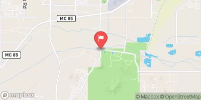
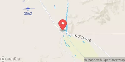
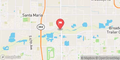
Buckeye FRS #3, located in Maricopa County, Arizona, is a vital flood risk reduction structure along the Gila River - TR.
°F
°F
mph
Wind
%
Humidity
Summary
Constructed in 1975 by the USDA NRCS, this earth dam stands at 34 feet high and stretches 16,100 feet in length, with a storage capacity of 2,786 acre-feet. Despite its high hazard potential, the dam is deemed to be in satisfactory condition, as per the most recent assessment in October 2017.
Managed by the Arizona Department of Water Resources, Buckeye FRS #3 plays a crucial role in protecting the surrounding area from potential flood events. The dam features an uncontrolled spillway with a width of 400 feet, capable of discharging up to 3,000 cubic feet per second. With its primary purpose being flood risk reduction, the structure is subject to regular inspections to ensure its continued effectiveness in safeguarding the local community.
Under the jurisdiction of state regulatory agencies, Buckeye FRS #3 is part of a comprehensive risk management strategy to mitigate potential threats to public safety and property. With a moderate risk assessment rating of 3, the dam's emergency action plan and risk management measures are essential components in ensuring the resilience of the structure in the face of changing climate patterns and water resource challenges.
Year Completed |
1975 |
Dam Length |
16100 |
Dam Height |
21 |
River Or Stream |
GILA RIVER - TR |
Primary Dam Type |
Earth |
Surface Area |
180 |
Drainage Area |
9.3 |
Nid Storage |
2786 |
Structural Height |
34 |
Outlet Gates |
Uncontrolled |
Hazard Potential |
High |
Foundations |
Rock, Soil |
Nid Height |
34 |
Seasonal Comparison
Weather Forecast
Nearby Streamflow Levels
Dam Data Reference
Condition Assessment
SatisfactoryNo existing or potential dam safety deficiencies are recognized. Acceptable performance is expected under all loading conditions (static, hydrologic, seismic) in accordance with the minimum applicable state or federal regulatory criteria or tolerable risk guidelines.
Fair
No existing dam safety deficiencies are recognized for normal operating conditions. Rare or extreme hydrologic and/or seismic events may result in a dam safety deficiency. Risk may be in the range to take further action. Note: Rare or extreme event is defined by the regulatory agency based on their minimum
Poor A dam safety deficiency is recognized for normal operating conditions which may realistically occur. Remedial action is necessary. POOR may also be used when uncertainties exist as to critical analysis parameters which identify a potential dam safety deficiency. Investigations and studies are necessary.
Unsatisfactory
A dam safety deficiency is recognized that requires immediate or emergency remedial action for problem resolution.
Not Rated
The dam has not been inspected, is not under state or federal jurisdiction, or has been inspected but, for whatever reason, has not been rated.
Not Available
Dams for which the condition assessment is restricted to approved government users.
Hazard Potential Classification
HighDams assigned the high hazard potential classification are those where failure or mis-operation will probably cause loss of human life.
Significant
Dams assigned the significant hazard potential classification are those dams where failure or mis-operation results in no probable loss of human life but can cause economic loss, environment damage, disruption of lifeline facilities, or impact other concerns. Significant hazard potential classification dams are often located in predominantly rural or agricultural areas but could be in areas with population and significant infrastructure.
Low
Dams assigned the low hazard potential classification are those where failure or mis-operation results in no probable loss of human life and low economic and/or environmental losses. Losses are principally limited to the owner's property.
Undetermined
Dams for which a downstream hazard potential has not been designated or is not provided.
Not Available
Dams for which the downstream hazard potential is restricted to approved government users.

 Buckeye Frs #3