Cottonwood (Oro Ranch) Dam

Cottonwood (Oro Ranch)
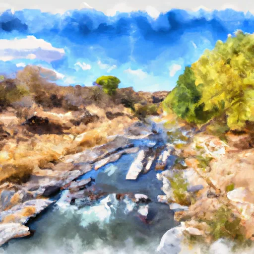
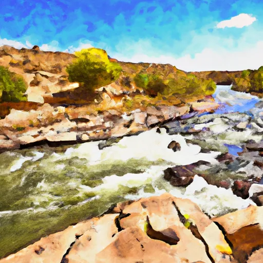
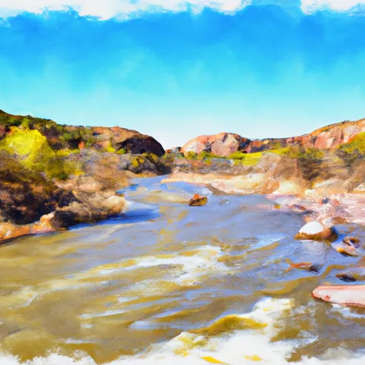
Cottonwood (Oro Ranch) is a private water structure located in Yavapai, Arizona, with a primary purpose of serving as a source for fire protection, stock, or a small fish pond. The dam is of Earth type, with a height of 21.8 feet and a storage capacity of 131.9 acre-feet. Positioned along the Hope Canyon stream, the dam's spillway is uncontrolled, measuring 67 feet in width.
Despite being classified as having a low hazard potential, Cottonwood (Oro Ranch) is subject to state regulation, inspection, and enforcement by the Arizona Department of Water Resources. The last inspection of the dam was conducted in October 2007, and it has an inspection frequency of 5 years. The risk assessment for the structure is moderate, indicating a level 3 threat, though specific risk management measures and detailed assessments are not currently available.
Water resource and climate enthusiasts interested in Cottonwood (Oro Ranch) can appreciate its role in providing essential water services for fire protection and stock purposes in the region. With its modest storage capacity and low hazard potential, the dam serves as a valuable asset in the area's water management infrastructure. Monitoring and management of the structure by state regulatory agencies ensure its continued safety and functionality, contributing to the sustainable use of water resources in Yavapai, Arizona.
Plan around the weather
Same NOAA / yr.no feed Snoflo's iOS app uses. Watch the precipitation column on the meteogram -- rain on the basin upstream typically lifts inflow 24-72 hours later.
Next 5 days, hour by hour
Temperature line with weather symbols on top, snow + rain accumulation as columns, humidity as a dotted line.
5-day forecast table
Every 3 hours, broken out across temperature, snow, rain, humidity, and wind. Each cell is colour-coded relative to the column min/max.
| Time | Condition | Temp (°F) | Snow (in) | Rain (in) | Humidity (%) | Wind (mps) | Wind dir |
|---|---|---|---|---|---|---|---|
| Loading detailed forecast… | |||||||
15-day temperature & precipitation
Daily temperatures, snow, and rain projected over the next two weeks.
Nearby streamflow gauges
USGS streamgauges around Cottonwood (Oro Ranch) -- inflows here typically show up in storage 24-72 hours later.
| Streamgauge | Discharge | View |
|---|---|---|
| Williamson Valley Wash Near Paulden | · | → |
| Burro Creek At Old Us 93 Bridge Nr Bagdad | · | → |
| Del Rio Springs Near Chino Valley | 0 cfs | → |
| Truxton Wash Near Valentine | · | → |
| Big Sandy River Near Wikieup | 3 cfs | → |
| Verde River Near Paulden | 29 cfs | → |
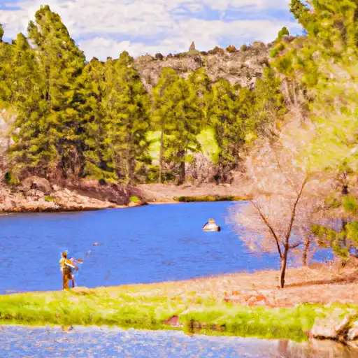
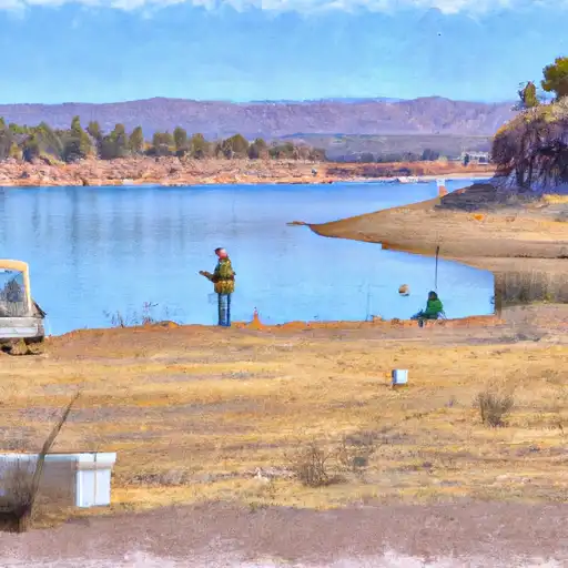
Make a day of it
Boat launches, lakeside camping, fishing access, and other reservoirs near Cottonwood (Oro Ranch).
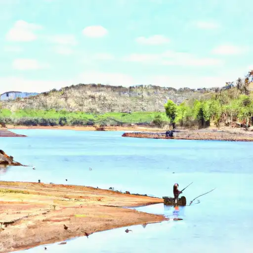
Fishing spots
See all →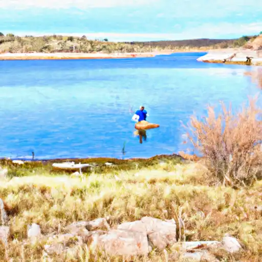
About Cottonwood (Oro Ranch)
Where does the data for Cottonwood (Oro Ranch) come from?
Structural and regulatory data come from the U.S. Army Corps of Engineers' National Inventory of Dams (NID). Weather forecast comes from NOAA / yr.no -- the same feed Snoflo's iOS app uses.
How often is the report updated?
NID structural data refreshes annually as the Corps publishes updated assessments. The weather forecast refreshes throughout the day.
What does the Low hazard rating mean?
The Corps of Engineers' hazard potential classification grades probable consequences if the dam fails: High = probable loss of human life; Significant = no probable loss of human life but possible economic loss / environmental damage; Low = no probable loss of human life, only minor economic / environmental losses. See the Dam Data Reference card below for the full definitions.
What's "% of normal"?
The current storage value compared to the historical average storage on this calendar day. 100% = right on average; values above 100% mean above-normal storage (wet year); values below mean below-normal (dry year or drought).
Can I get alerts when storage crosses a threshold?
Yes -- alerts are managed in the Snoflo iOS app. Favorite this dam, set a threshold, and you'll get a push the moment conditions cross.
Dam data reference
Condition Assessment
- Satisfactory
- No existing or potential dam safety deficiencies are recognized. Acceptable performance is expected under all loading conditions (static, hydrologic, seismic) in accordance with the minimum applicable state or federal regulatory criteria or tolerable risk guidelines.
- Fair
- No existing dam safety deficiencies are recognized for normal operating conditions. Rare or extreme hydrologic and/or seismic events may result in a dam safety deficiency. Risk may be in the range to take further action.
- Poor
- A dam safety deficiency is recognized for normal operating conditions which may realistically occur. Remedial action is necessary. POOR may also be used when uncertainties exist as to critical analysis parameters which identify a potential dam safety deficiency.
- Unsatisfactory
- A dam safety deficiency is recognized that requires immediate or emergency remedial action for problem resolution.
- Not Rated
- The dam has not been inspected, is not under state or federal jurisdiction, or has been inspected but, for whatever reason, has not been rated.
Hazard Potential Classification
- High
- Dams assigned the high hazard potential classification are those where failure or mis-operation will probably cause loss of human life.
- Significant
- Dams assigned the significant hazard potential classification are those dams where failure or mis-operation results in no probable loss of human life but can cause economic loss, environmental damage, disruption of lifeline facilities, or impact other concerns. Significant hazard potential classification dams are often located in predominantly rural or agricultural areas but could be in areas with population and significant infrastructure.
- Low
- Dams assigned the low hazard potential classification are those where failure or mis-operation results in no probable loss of human life and low economic and/or environmental losses. Losses are principally limited to the owner's property.
- Undetermined
- Dams for which a downstream hazard potential has not been designated or is not provided.