Theodore Roosevelt dam

Theodore Roosevelt
Theodore Roosevelt Dam is a historic structure located in Maricopa, Arizona along the Salt River. Built in 1911 by the Bureau of Reclamation, this masonry dam stands at a height of 357 feet and has a primary purpose of hydroelectric power generation. With a storage capacity of 3.4 million acre-feet and a maximum discharge of 150,000 cubic feet per second, Theodore Roosevelt Dam plays a crucial role in water resource management and irrigation in the region.
The dam has undergone modifications in 1996 to enhance its foundation, hydraulic, seismic, and structural integrity. Despite its high hazard potential, the condition assessment is currently not available. The emergency action plan for the dam was last revised in December 2020, indicating a commitment to ensuring the safety and security of the surrounding community in case of emergencies. With its rich history, impressive technical specifications, and the critical role it plays in the region's water resource management, Theodore Roosevelt Dam remains a notable landmark for water resource and climate enthusiasts.
Theodore Roosevelt Dam's risk assessment is classified as very high, indicating the importance of effective risk management measures. The dam's controlled spillway, with a width of 268 feet, helps regulate water flow during periods of increased discharge. As a key structure for hydroelectric power generation, irrigation, and recreation, Theodore Roosevelt Dam stands as a testament to the ingenuity and engineering prowess of the Bureau of Reclamation. For water resource and climate enthusiasts, this historic dam serves as a reminder of the vital role infrastructure plays in sustaining ecosystems and communities in arid regions like Arizona.
Plan around the weather
Same NOAA / yr.no feed Snoflo's iOS app uses. Watch the precipitation column on the meteogram -- rain on the basin upstream typically lifts inflow 24-72 hours later.
Next 5 days, hour by hour
Temperature line with weather symbols on top, snow + rain accumulation as columns, humidity as a dotted line.
5-day forecast table
Every 3 hours, broken out across temperature, snow, rain, humidity, and wind. Each cell is colour-coded relative to the column min/max.
| Time | Condition | Temp (°F) | Snow (in) | Rain (in) | Humidity (%) | Wind (mps) | Wind dir |
|---|---|---|---|---|---|---|---|
| Loading detailed forecast… | |||||||
15-day temperature & precipitation
Daily temperatures, snow, and rain projected over the next two weeks.
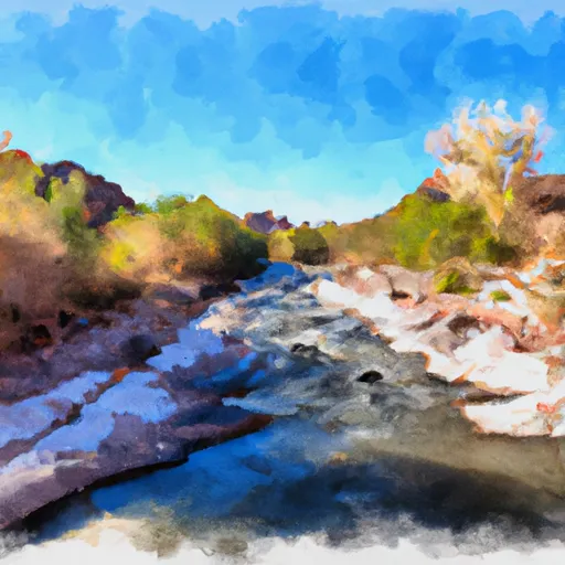
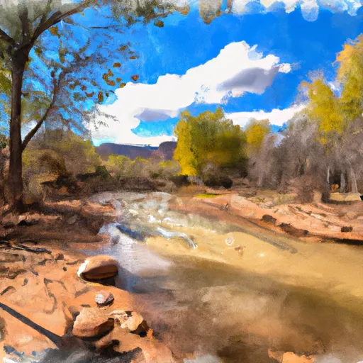
Nearby streamflow gauges
USGS streamgauges around Theodore Roosevelt -- inflows here typically show up in storage 24-72 hours later.
| Streamgauge | Discharge | View |
|---|---|---|
| Salt River Near Roosevelt | 88 cfs | → |
| South Fork Parker Creek Near Roosevelt | · | → |
| Pinto Creek Near Miami | · | → |
| Pinal Creek At Inspiration Dam | 0 cfs | → |
| Pinto Cr Blw Haunted Canyon Nr Miami | · | → |
| Cherry Creek Near Globe | 2 cfs | → |
Make a day of it
Boat launches, lakeside camping, fishing access, and other reservoirs near Theodore Roosevelt.
Boat launches
See all →


Campgrounds
See all →


Fishing spots
See all →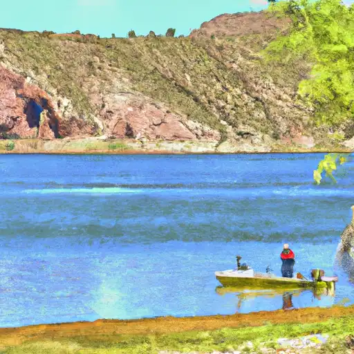


River runs
See all →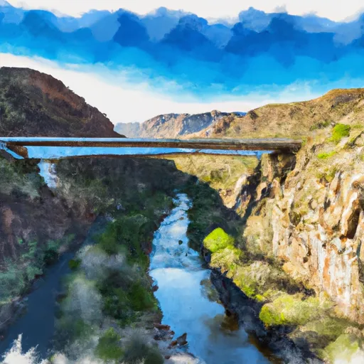


About Theodore Roosevelt
Where does the data for Theodore Roosevelt come from?
Structural and regulatory data come from the U.S. Army Corps of Engineers' National Inventory of Dams (NID). Weather forecast comes from NOAA / yr.no -- the same feed Snoflo's iOS app uses.
How often is the report updated?
NID structural data refreshes annually as the Corps publishes updated assessments. The weather forecast refreshes throughout the day.
What does the High hazard rating mean?
The Corps of Engineers' hazard potential classification grades probable consequences if the dam fails: High = probable loss of human life; Significant = no probable loss of human life but possible economic loss / environmental damage; Low = no probable loss of human life, only minor economic / environmental losses. See the Dam Data Reference card below for the full definitions.
What's "% of normal"?
The current storage value compared to the historical average storage on this calendar day. 100% = right on average; values above 100% mean above-normal storage (wet year); values below mean below-normal (dry year or drought).
Can I get alerts when storage crosses a threshold?
Yes -- alerts are managed in the Snoflo iOS app. Favorite this dam, set a threshold, and you'll get a push the moment conditions cross.
Dam data reference
Condition Assessment
- Satisfactory
- No existing or potential dam safety deficiencies are recognized. Acceptable performance is expected under all loading conditions (static, hydrologic, seismic) in accordance with the minimum applicable state or federal regulatory criteria or tolerable risk guidelines.
- Fair
- No existing dam safety deficiencies are recognized for normal operating conditions. Rare or extreme hydrologic and/or seismic events may result in a dam safety deficiency. Risk may be in the range to take further action.
- Poor
- A dam safety deficiency is recognized for normal operating conditions which may realistically occur. Remedial action is necessary. POOR may also be used when uncertainties exist as to critical analysis parameters which identify a potential dam safety deficiency.
- Unsatisfactory
- A dam safety deficiency is recognized that requires immediate or emergency remedial action for problem resolution.
- Not Rated
- The dam has not been inspected, is not under state or federal jurisdiction, or has been inspected but, for whatever reason, has not been rated.
Hazard Potential Classification
- High
- Dams assigned the high hazard potential classification are those where failure or mis-operation will probably cause loss of human life.
- Significant
- Dams assigned the significant hazard potential classification are those dams where failure or mis-operation results in no probable loss of human life but can cause economic loss, environmental damage, disruption of lifeline facilities, or impact other concerns. Significant hazard potential classification dams are often located in predominantly rural or agricultural areas but could be in areas with population and significant infrastructure.
- Low
- Dams assigned the low hazard potential classification are those where failure or mis-operation results in no probable loss of human life and low economic and/or environmental losses. Losses are principally limited to the owner's property.
- Undetermined
- Dams for which a downstream hazard potential has not been designated or is not provided.