Sycamore Dam

Sycamore Dam
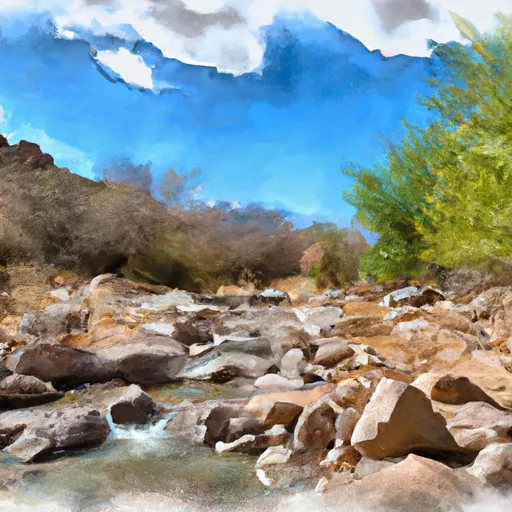
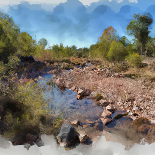
Sycamore Dam, also known as Bear Canyon Dam, is a masonry structure located in Tucson, Arizona. Built in 1939 by the Forest Service, this dam stands at a height of 47 feet and has a maximum storage capacity of 30 acre-feet. The dam spans 60 feet in length and is designed to control the flow of Bear Canyon Creek, with a spillway width of 28 feet to handle a maximum discharge of 290 cubic feet per second. Despite its age, Sycamore Dam underwent structural modifications in 1953 to ensure its continued effectiveness in water management.
The dam's hazard potential is considered significant, with a moderate risk level assigned to it. While its condition assessment is currently not rated, regular inspections are conducted to monitor its safety and functionality. Sycamore Dam plays a crucial role in water resource management in the region, providing irrigation water and flood control for the surrounding areas. Its historical significance and continued operation highlight the importance of maintaining and managing water infrastructure to adapt to changing climate conditions.
Water resource and climate enthusiasts can appreciate the engineering and historical significance of Sycamore Dam, as it serves as a testament to the ingenuity of early water management practices in Arizona. With its multi-arch masonry design and rock foundation, the dam showcases a blend of functionality and durability that has stood the test of time. As climate change continues to impact water resources, it is essential to ensure the continued safety and efficiency of structures like Sycamore Dam to meet the evolving needs of the community and preserve the integrity of the local ecosystem.
Plan around the weather
Same NOAA / yr.no feed Snoflo's iOS app uses. Watch the precipitation column on the meteogram -- rain on the basin upstream typically lifts inflow 24-72 hours later.
Next 5 days, hour by hour
Temperature line with weather symbols on top, snow + rain accumulation as columns, humidity as a dotted line.
5-day forecast table
Every 3 hours, broken out across temperature, snow, rain, humidity, and wind. Each cell is colour-coded relative to the column min/max.
| Time | Condition | Temp (°F) | Snow (in) | Rain (in) | Humidity (%) | Wind (mps) | Wind dir |
|---|---|---|---|---|---|---|---|
| Loading detailed forecast… | |||||||
15-day temperature & precipitation
Daily temperatures, snow, and rain projected over the next two weeks.
Nearby streamflow gauges
USGS streamgauges around Sycamore Dam -- inflows here typically show up in storage 24-72 hours later.
| Streamgauge | Discharge | View |
|---|---|---|
| Sabino Creek Near Tucson | 87 cfs | → |
| Tanque Verde Creek At Tucson | · | → |
| Pantano Wash At Broadway Blvd. At Tucson | · | → |
| Rillito Creek At Dodge Boulevard | · | → |
| Rillito Creek At La Cholla Blvd Near Tucson | · | → |
| Santa Cruz River At Tucson | · | → |
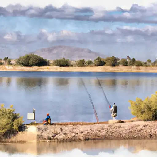
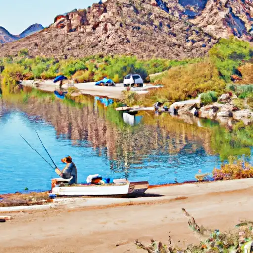
Make a day of it
Boat launches, lakeside camping, fishing access, and other reservoirs near Sycamore Dam.
Boat launches
See all →

Campgrounds
See all →


Fishing spots
See all →

River runs
See all →


About Sycamore Dam
Where does the data for Sycamore Dam come from?
Structural and regulatory data come from the U.S. Army Corps of Engineers' National Inventory of Dams (NID). Weather forecast comes from NOAA / yr.no -- the same feed Snoflo's iOS app uses.
How often is the report updated?
NID structural data refreshes annually as the Corps publishes updated assessments. The weather forecast refreshes throughout the day.
What does the Significant hazard rating mean?
The Corps of Engineers' hazard potential classification grades probable consequences if the dam fails: High = probable loss of human life; Significant = no probable loss of human life but possible economic loss / environmental damage; Low = no probable loss of human life, only minor economic / environmental losses. See the Dam Data Reference card below for the full definitions.
What's "% of normal"?
The current storage value compared to the historical average storage on this calendar day. 100% = right on average; values above 100% mean above-normal storage (wet year); values below mean below-normal (dry year or drought).
Can I get alerts when storage crosses a threshold?
Yes -- alerts are managed in the Snoflo iOS app. Favorite this dam, set a threshold, and you'll get a push the moment conditions cross.
Dam data reference
Condition Assessment
- Satisfactory
- No existing or potential dam safety deficiencies are recognized. Acceptable performance is expected under all loading conditions (static, hydrologic, seismic) in accordance with the minimum applicable state or federal regulatory criteria or tolerable risk guidelines.
- Fair
- No existing dam safety deficiencies are recognized for normal operating conditions. Rare or extreme hydrologic and/or seismic events may result in a dam safety deficiency. Risk may be in the range to take further action.
- Poor
- A dam safety deficiency is recognized for normal operating conditions which may realistically occur. Remedial action is necessary. POOR may also be used when uncertainties exist as to critical analysis parameters which identify a potential dam safety deficiency.
- Unsatisfactory
- A dam safety deficiency is recognized that requires immediate or emergency remedial action for problem resolution.
- Not Rated
- The dam has not been inspected, is not under state or federal jurisdiction, or has been inspected but, for whatever reason, has not been rated.
Hazard Potential Classification
- High
- Dams assigned the high hazard potential classification are those where failure or mis-operation will probably cause loss of human life.
- Significant
- Dams assigned the significant hazard potential classification are those dams where failure or mis-operation results in no probable loss of human life but can cause economic loss, environmental damage, disruption of lifeline facilities, or impact other concerns. Significant hazard potential classification dams are often located in predominantly rural or agricultural areas but could be in areas with population and significant infrastructure.
- Low
- Dams assigned the low hazard potential classification are those where failure or mis-operation results in no probable loss of human life and low economic and/or environmental losses. Losses are principally limited to the owner's property.
- Undetermined
- Dams for which a downstream hazard potential has not been designated or is not provided.