
Mathes Reservoir Report
Nearby: Stump Lake Iowa Noname12
Last Updated: December 5, 2025
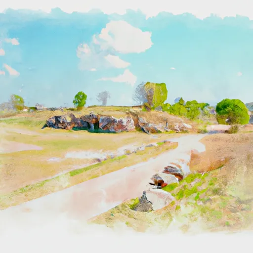
Mathes, also known as Mathes Lake, is a federal-owned water resource located in Fort Madison, Iowa.
°F
°F
mph
Wind
%
Humidity
Summary
Managed by the US Army, this recreational dam was completed in 1941 and stands at a height of 64 feet with a hydraulic height of 27 feet. The dam spans 1120 feet and has a maximum storage capacity of 1440 acre-feet, making it a vital water source for the surrounding area.
Situated on Long Creek, Mathes serves as a popular spot for outdoor activities and water recreation in Des Moines County. Despite its low hazard potential, the dam is regulated and inspected by the Iowa Department of Natural Resources. The spillway, with a width of 75 feet, is designed as uncontrolled, allowing for controlled release of excess water during high flow events. With a moderate risk assessment rating of 3, Mathes is monitored closely to ensure the safety and integrity of the structure for both residents and visitors alike.
While the condition assessment is currently listed as "Not Available," Mathes Dam undergoes frequent inspections every four years to assess any potential risks and ensure proper maintenance. With its strategic location and vital role in providing recreational opportunities and water storage, Mathes remains a significant asset in the management of water resources in the region.
Year Completed |
1941 |
Dam Length |
1120 |
Dam Height |
64 |
River Or Stream |
Long Creek |
Primary Dam Type |
Earth |
Surface Area |
74 |
Hydraulic Height |
27 |
Nid Storage |
1440 |
Structural Height |
64 |
Hazard Potential |
Low |
Nid Height |
64 |
Seasonal Comparison
Weather Forecast
Nearby Streamflow Levels
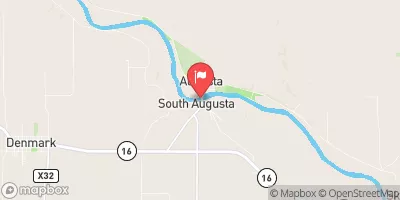 Skunk River At Augusta
|
188cfs |
 Big Creek Near Mt. Pleasant
|
0cfs |
 Cedar Creek Near Oakland Mills
|
10cfs |
 Henderson Creek Near Oquawka
|
37cfs |
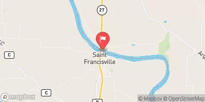 Des Moines River At St. Francisville
|
1620cfs |
 Iowa River At Wapello
|
4240cfs |
Dam Data Reference
Condition Assessment
SatisfactoryNo existing or potential dam safety deficiencies are recognized. Acceptable performance is expected under all loading conditions (static, hydrologic, seismic) in accordance with the minimum applicable state or federal regulatory criteria or tolerable risk guidelines.
Fair
No existing dam safety deficiencies are recognized for normal operating conditions. Rare or extreme hydrologic and/or seismic events may result in a dam safety deficiency. Risk may be in the range to take further action. Note: Rare or extreme event is defined by the regulatory agency based on their minimum
Poor A dam safety deficiency is recognized for normal operating conditions which may realistically occur. Remedial action is necessary. POOR may also be used when uncertainties exist as to critical analysis parameters which identify a potential dam safety deficiency. Investigations and studies are necessary.
Unsatisfactory
A dam safety deficiency is recognized that requires immediate or emergency remedial action for problem resolution.
Not Rated
The dam has not been inspected, is not under state or federal jurisdiction, or has been inspected but, for whatever reason, has not been rated.
Not Available
Dams for which the condition assessment is restricted to approved government users.
Hazard Potential Classification
HighDams assigned the high hazard potential classification are those where failure or mis-operation will probably cause loss of human life.
Significant
Dams assigned the significant hazard potential classification are those dams where failure or mis-operation results in no probable loss of human life but can cause economic loss, environment damage, disruption of lifeline facilities, or impact other concerns. Significant hazard potential classification dams are often located in predominantly rural or agricultural areas but could be in areas with population and significant infrastructure.
Low
Dams assigned the low hazard potential classification are those where failure or mis-operation results in no probable loss of human life and low economic and/or environmental losses. Losses are principally limited to the owner's property.
Undetermined
Dams for which a downstream hazard potential has not been designated or is not provided.
Not Available
Dams for which the downstream hazard potential is restricted to approved government users.
 Lower Augusta Skunk River Access
 Welter Recreation Park
 Upper Augusta Skunk River Access
 Grays Landing
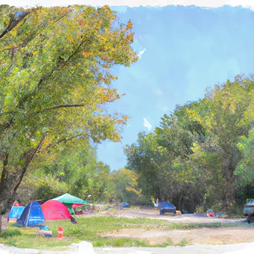
 Geode State Park Campground
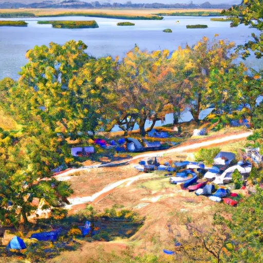
 Geode State Park
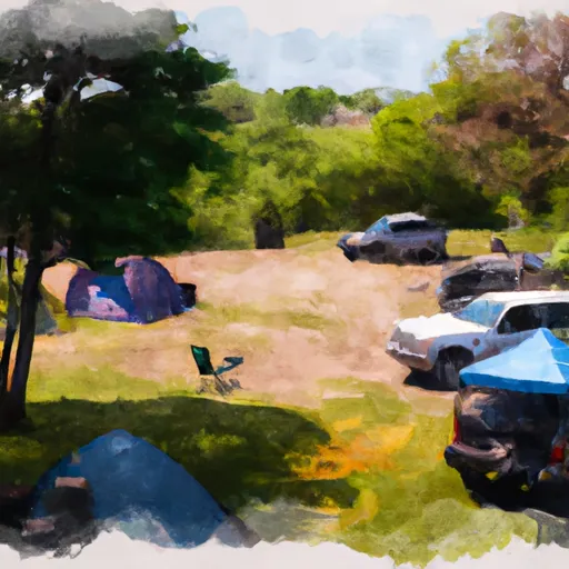
 Mathes
 Longmeadow Park
 Geode State Park
 Starr's Cave State Preserve
 Dankwardt Park
 Crapo Park