


Independence Milldam Reservoir Report
Last Updated: May 3, 2026
Nearby: Littleton Dam Fontana Milldam
°F
°F
mph
Wind
%
Humidity
Independence Milldam, located in Buchanan County, Iowa, along the Wapsipinicon River, serves as a key recreational spot for water resource and climate enthusiasts.
Summary
Built in 1922, this gravity dam stands at a height of 11 feet and spans 341 feet in length, creating a surface area of 440 acres and holding a maximum storage capacity of 2,834 acre-feet. While primarily designed for recreational purposes, Independence Milldam is also regulated by the Iowa Department of Natural Resources, ensuring its safety and maintenance for visitors to enjoy.
Despite its low hazard potential and moderate risk assessment, Independence Milldam has not been rated for its condition assessment. However, with state permitting, inspection, and enforcement in place, the dam remains a safe and attractive destination for outdoor activities. As a part of the Detroit District, there are no associated federal agencies involved in the ownership or funding of the dam, highlighting its local government management and operation.
Visitors to Independence Milldam can appreciate its historical significance and scenic beauty, while also recognizing the importance of proper maintenance and risk management for sustainable enjoyment of this water resource. With its picturesque location and recreational offerings, Independence Milldam stands as a testament to the intersection of human ingenuity and natural beauty in the heart of Iowa.
Regional Streamflow Levels
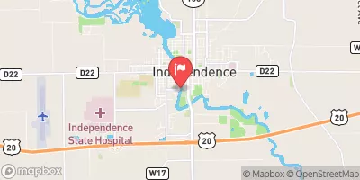 Wapsipinicon River At Independence
|
964cfs |
 Cedar River At Waterloo
|
5270cfs |
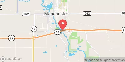 Maquoketa River At Manchester
|
397cfs |
 Wolf Creek Near Dysart
|
373cfs |
 Cedar River At Cedar Falls
|
4980cfs |
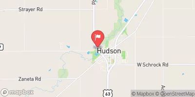 Black Hawk Creek At Hudson
|
286cfs |
15-Day Long Term Forecast
Year Completed |
1922 |
Dam Length |
341 |
Dam Height |
11 |
River Or Stream |
WAPSIPINICON RIVER |
Primary Dam Type |
Gravity |
Surface Area |
440 |
Drainage Area |
1048 |
Nid Storage |
2834 |
Hazard Potential |
Low |
Foundations |
Soil |
Nid Height |
11 |
Seasonal Comparison
5-Day Hourly Forecast Detail
Dam Data Reference
Condition Assessment
SatisfactoryNo existing or potential dam safety deficiencies are recognized. Acceptable performance is expected under all loading conditions (static, hydrologic, seismic) in accordance with the minimum applicable state or federal regulatory criteria or tolerable risk guidelines.
Fair
No existing dam safety deficiencies are recognized for normal operating conditions. Rare or extreme hydrologic and/or seismic events may result in a dam safety deficiency. Risk may be in the range to take further action. Note: Rare or extreme event is defined by the regulatory agency based on their minimum
Poor A dam safety deficiency is recognized for normal operating conditions which may realistically occur. Remedial action is necessary. POOR may also be used when uncertainties exist as to critical analysis parameters which identify a potential dam safety deficiency. Investigations and studies are necessary.
Unsatisfactory
A dam safety deficiency is recognized that requires immediate or emergency remedial action for problem resolution.
Not Rated
The dam has not been inspected, is not under state or federal jurisdiction, or has been inspected but, for whatever reason, has not been rated.
Not Available
Dams for which the condition assessment is restricted to approved government users.
Hazard Potential Classification
HighDams assigned the high hazard potential classification are those where failure or mis-operation will probably cause loss of human life.
Significant
Dams assigned the significant hazard potential classification are those dams where failure or mis-operation results in no probable loss of human life but can cause economic loss, environment damage, disruption of lifeline facilities, or impact other concerns. Significant hazard potential classification dams are often located in predominantly rural or agricultural areas but could be in areas with population and significant infrastructure.
Low
Dams assigned the low hazard potential classification are those where failure or mis-operation results in no probable loss of human life and low economic and/or environmental losses. Losses are principally limited to the owner's property.
Undetermined
Dams for which a downstream hazard potential has not been designated or is not provided.
Not Available
Dams for which the downstream hazard potential is restricted to approved government users.
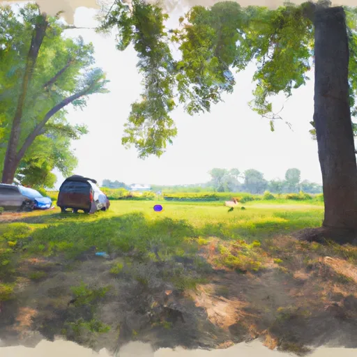
 Independence City RV Park
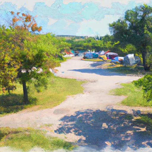
 Three Elms County Park
 Boies Bend County Area
 Fontana County Park
 Fontana County Park Campgrounds
 Veterans Memorial County Park
 Wapsi Access Boulevard Buchanan County
 Western Boundary Of Effigy Mounds National Monument To Boundary Of Effigy Mounds National Monument
 Brush Creek
 Mink Creek
 Glover Creek
 Otter Creek
 South Cedar Creek