Blackburn Reservoir Report
Nearby: Antelope J.C. Jacobsen
Last Updated: February 12, 2026
Blackburn is a vital earth-type dam located in Tehachipi, California, along Blackburn Creek.
Summary
Completed in 1991 and designed by the USDA NRCS, this public utility structure serves the primary purpose of flood risk reduction in the Kern County area. With a dam height of 48 feet and a storage capacity of 625 acre-feet, Blackburn plays a crucial role in safeguarding the region against potential hazards.
Managed by the California Department of Water Resources and Safety of Dams, Blackburn is subject to regular state inspections, permitting, and enforcement to ensure its structural integrity and safety. With a high hazard potential and a satisfactory condition assessment as of September 2017, this dam is equipped to handle emergencies effectively. While the last inspection was conducted in March 2021 and the Emergency Action Plan was last revised in August 2019, Blackburn remains a key asset in the state's water resource and climate management strategy.
Situated in the Los Angeles District and overseen by state regulatory agencies, Blackburn exemplifies a successful collaboration between federal and state entities in maintaining water infrastructure. With its strategic location, efficient design, and critical role in flood risk reduction, Blackburn stands as a testament to effective water resource management practices and serves as a valuable asset for water resource and climate enthusiasts in the region.
°F
°F
mph
Wind
%
Humidity
15-Day Weather Outlook
Year Completed |
1991 |
Dam Length |
4000 |
Dam Height |
48 |
River Or Stream |
Blackburn Creek |
Primary Dam Type |
Earth |
Surface Area |
28 |
Hydraulic Height |
31.6 |
Nid Storage |
625 |
Hazard Potential |
High |
Nid Height |
48 |
Seasonal Comparison
5-Day Hourly Forecast Detail
Nearby Streamflow Levels
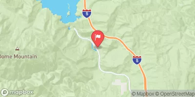 Piru C Ab Frenchmans Flat Ca
|
16cfs |
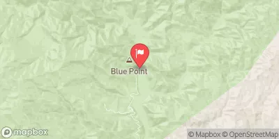 Piru Creek Above Lake Piru Ca
|
164cfs |
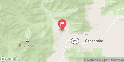 Sf Kern R Nr Onyx Ca
|
152cfs |
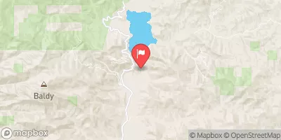 Piru Creek Below Santa Felicia Dam Ca
|
49cfs |
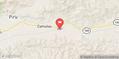 Santa Clara R Nr Piru Ca
|
169cfs |
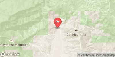 Sespe C Nr Fillmore
|
342cfs |
Dam Data Reference
Condition Assessment
SatisfactoryNo existing or potential dam safety deficiencies are recognized. Acceptable performance is expected under all loading conditions (static, hydrologic, seismic) in accordance with the minimum applicable state or federal regulatory criteria or tolerable risk guidelines.
Fair
No existing dam safety deficiencies are recognized for normal operating conditions. Rare or extreme hydrologic and/or seismic events may result in a dam safety deficiency. Risk may be in the range to take further action. Note: Rare or extreme event is defined by the regulatory agency based on their minimum
Poor A dam safety deficiency is recognized for normal operating conditions which may realistically occur. Remedial action is necessary. POOR may also be used when uncertainties exist as to critical analysis parameters which identify a potential dam safety deficiency. Investigations and studies are necessary.
Unsatisfactory
A dam safety deficiency is recognized that requires immediate or emergency remedial action for problem resolution.
Not Rated
The dam has not been inspected, is not under state or federal jurisdiction, or has been inspected but, for whatever reason, has not been rated.
Not Available
Dams for which the condition assessment is restricted to approved government users.
Hazard Potential Classification
HighDams assigned the high hazard potential classification are those where failure or mis-operation will probably cause loss of human life.
Significant
Dams assigned the significant hazard potential classification are those dams where failure or mis-operation results in no probable loss of human life but can cause economic loss, environment damage, disruption of lifeline facilities, or impact other concerns. Significant hazard potential classification dams are often located in predominantly rural or agricultural areas but could be in areas with population and significant infrastructure.
Low
Dams assigned the low hazard potential classification are those where failure or mis-operation results in no probable loss of human life and low economic and/or environmental losses. Losses are principally limited to the owner's property.
Undetermined
Dams for which a downstream hazard potential has not been designated or is not provided.
Not Available
Dams for which the downstream hazard potential is restricted to approved government users.
Area Campgrounds
| Location | Reservations | Toilets |
|---|---|---|
 Tehachapi Mountain Park
|
||
 Brite Lake
|
||
 CS0571B
|

 Blackburn