Lauro dam

Lauro
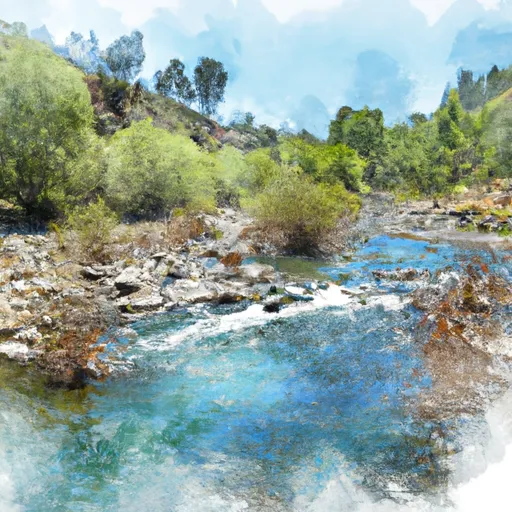
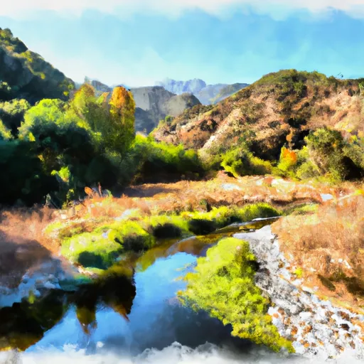
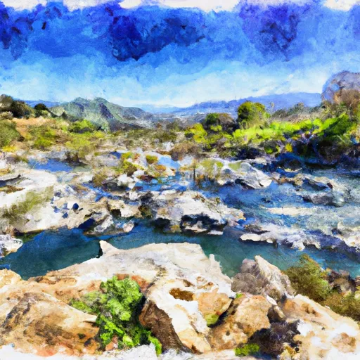
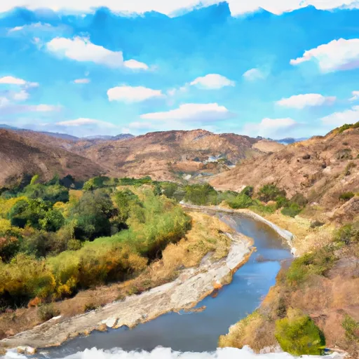
Lauro, located in Santa Barbara, California, is a federal-owned Earth dam completed in 1951 with a primary purpose of water supply. Standing at a height of 137 feet and stretching 540 feet in length, it holds a maximum storage capacity of 855 acre-feet and covers a surface area of 26 acres. The dam's hydraulic height is 102 feet, with an uncontrolled spillway width of 3 feet, and a maximum discharge rate of 86 cubic feet per second.
Despite being marked as having a high hazard potential, Lauro has a moderate risk assessment rating. The dam underwent modifications in 2006 to enhance its seismic resilience. The Bureau of Reclamation oversees the operations, inspections, and regulatory aspects of the dam. It is situated along Diablo Creek and is managed by the Los Angeles District. With its critical role in water supply, Lauro represents a significant infrastructure asset in the region.
Ensuring the safety and maintenance of Lauro is essential for water resource management in the area. Although its condition assessment is currently not available, regular inspections and emergency preparedness measures are in place. The presence of reliable agencies like the Bureau of Reclamation underscores the commitment to safeguarding this vital water supply structure. As climate change impacts water resources, the resilience of dams like Lauro becomes increasingly crucial in securing water availability for communities in California.
Plan around the weather
Same NOAA / yr.no feed Snoflo's iOS app uses. Watch the precipitation column on the meteogram -- rain on the basin upstream typically lifts inflow 24-72 hours later.
Next 5 days, hour by hour
Temperature line with weather symbols on top, snow + rain accumulation as columns, humidity as a dotted line.
5-day forecast table
Every 3 hours, broken out across temperature, snow, rain, humidity, and wind. Each cell is colour-coded relative to the column min/max.
| Time | Condition | Temp (°F) | Snow (in) | Rain (in) | Humidity (%) | Wind (mps) | Wind dir |
|---|---|---|---|---|---|---|---|
| Loading detailed forecast… | |||||||
15-day temperature & precipitation
Daily temperatures, snow, and rain projected over the next two weeks.
Nearby streamflow gauges
USGS streamgauges around Lauro -- inflows here typically show up in storage 24-72 hours later.
| Streamgauge | Discharge | View |
|---|---|---|
| Mission C A Rnp A Santa Barbara Ca | · | → |
| Mission C Nr Mission St Nr Santa Barbara Ca | · | → |
| Maria Ygnacio C A Univ Dr Nr Goleta Ca | · | → |
| San Jose C Nr Goleta Ca | 0 cfs | → |
| Atascadero C Nr Goleta Ca | · | → |
| Gibralter Dam Rel Wr A Gibralter Dam Ca | · | → |
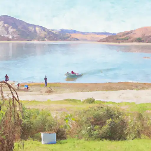
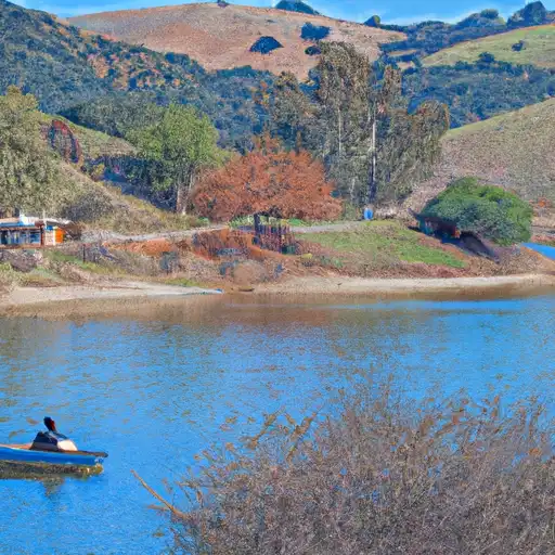
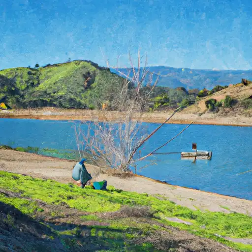
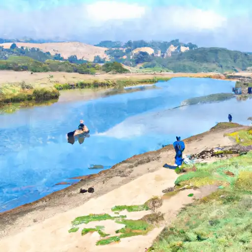
Make a day of it
Boat launches, lakeside camping, fishing access, and other reservoirs near Lauro.
Boat launches
See all →


Campgrounds
See all →


Fishing spots
See all →

River runs
See all →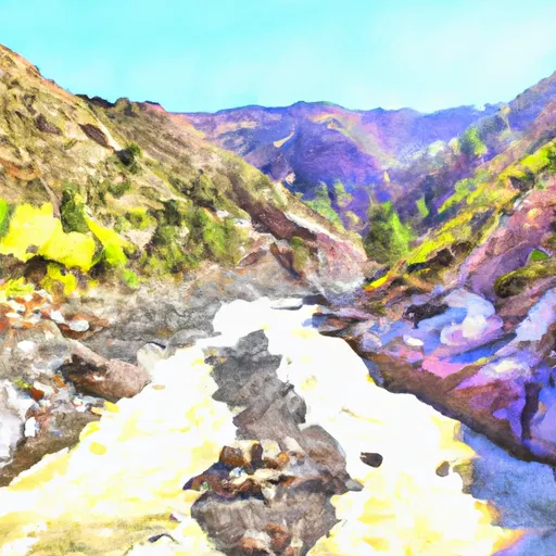


About Lauro
Where does the data for Lauro come from?
Structural and regulatory data come from the U.S. Army Corps of Engineers' National Inventory of Dams (NID). Weather forecast comes from NOAA / yr.no -- the same feed Snoflo's iOS app uses.
How often is the report updated?
NID structural data refreshes annually as the Corps publishes updated assessments. The weather forecast refreshes throughout the day.
What does the High hazard rating mean?
The Corps of Engineers' hazard potential classification grades probable consequences if the dam fails: High = probable loss of human life; Significant = no probable loss of human life but possible economic loss / environmental damage; Low = no probable loss of human life, only minor economic / environmental losses. See the Dam Data Reference card below for the full definitions.
What's "% of normal"?
The current storage value compared to the historical average storage on this calendar day. 100% = right on average; values above 100% mean above-normal storage (wet year); values below mean below-normal (dry year or drought).
Can I get alerts when storage crosses a threshold?
Yes -- alerts are managed in the Snoflo iOS app. Favorite this dam, set a threshold, and you'll get a push the moment conditions cross.
Dam data reference
Condition Assessment
- Satisfactory
- No existing or potential dam safety deficiencies are recognized. Acceptable performance is expected under all loading conditions (static, hydrologic, seismic) in accordance with the minimum applicable state or federal regulatory criteria or tolerable risk guidelines.
- Fair
- No existing dam safety deficiencies are recognized for normal operating conditions. Rare or extreme hydrologic and/or seismic events may result in a dam safety deficiency. Risk may be in the range to take further action.
- Poor
- A dam safety deficiency is recognized for normal operating conditions which may realistically occur. Remedial action is necessary. POOR may also be used when uncertainties exist as to critical analysis parameters which identify a potential dam safety deficiency.
- Unsatisfactory
- A dam safety deficiency is recognized that requires immediate or emergency remedial action for problem resolution.
- Not Rated
- The dam has not been inspected, is not under state or federal jurisdiction, or has been inspected but, for whatever reason, has not been rated.
Hazard Potential Classification
- High
- Dams assigned the high hazard potential classification are those where failure or mis-operation will probably cause loss of human life.
- Significant
- Dams assigned the significant hazard potential classification are those dams where failure or mis-operation results in no probable loss of human life but can cause economic loss, environmental damage, disruption of lifeline facilities, or impact other concerns. Significant hazard potential classification dams are often located in predominantly rural or agricultural areas but could be in areas with population and significant infrastructure.
- Low
- Dams assigned the low hazard potential classification are those where failure or mis-operation results in no probable loss of human life and low economic and/or environmental losses. Losses are principally limited to the owner's property.
- Undetermined
- Dams for which a downstream hazard potential has not been designated or is not provided.