Donnells Reservoir
As of July 25, 2026, Donnells is holding 13 acre-ft of water — 1% of normal storage for this date. Storage data refreshed throughout the day.

Donnells
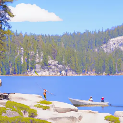
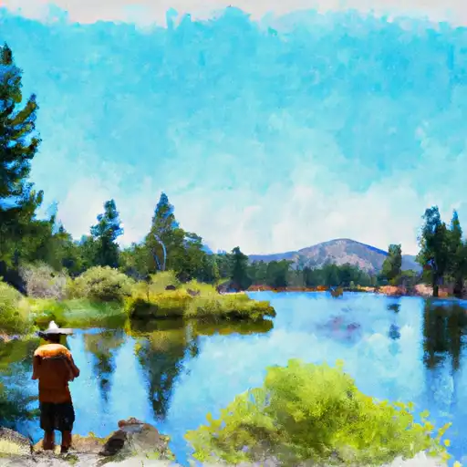
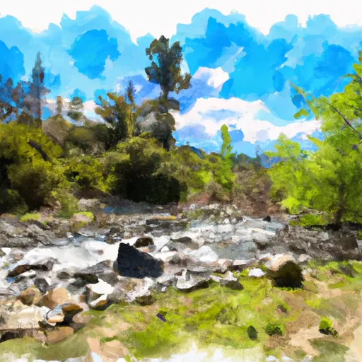
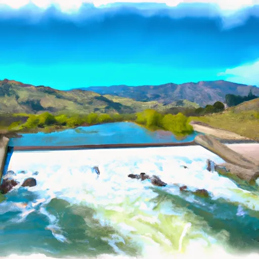
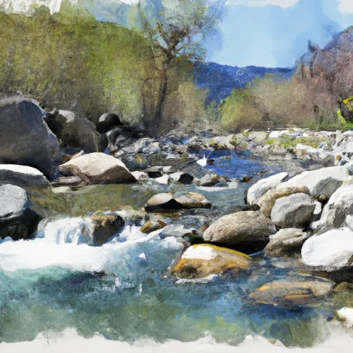
Donnell Lake in California is a hydroelectric reservoir that was created in the 1950s. The lake is fed by the Middle Fork Stanislaus River, and its primary purpose is to provide water storage for hydropower generation. The surrounding area is also home to several creeks and streams that contribute to the area's hydrology. In terms of surface flow, Donnell Lake is a significant provider of water for the surrounding areas, particularly during the dry summer months. The area also receives a significant amount of snowpack during the winter, which also contributes to the region's hydrology. While the primary use of Donnell Lake is for hydropower generation, it also supports various agricultural and recreational activities. Farmers in the area use the water for irrigation, and the lake is a popular spot for boating and fishing.
Daily levels at Donnells
Storage volume, pool elevation, and total release plotted from the operating agency's daily observations.
Storage
acre-ft · code 2
Pool Elevation
ft · code 1
Plan around the weather
Same NOAA / yr.no feed Snoflo's iOS app uses. Watch the precipitation column on the meteogram -- rain on the basin upstream typically lifts inflow 24-72 hours later.
Next 5 days, hour by hour
Temperature line with weather symbols on top, snow + rain accumulation as columns, humidity as a dotted line.
5-day forecast table
Every 3 hours, broken out across temperature, snow, rain, humidity, and wind. Each cell is colour-coded relative to the column min/max.
| Time | Condition | Temp (°F) | Snow (in) | Rain (in) | Humidity (%) | Wind (mps) | Wind dir |
|---|---|---|---|---|---|---|---|
| Loading detailed forecast… | |||||||
15-day temperature & precipitation
Daily temperatures, snow, and rain projected over the next two weeks.
Nearby streamflow gauges
USGS streamgauges around Donnells -- inflows here typically show up in storage 24-72 hours later.
| Streamgauge | Discharge | View |
|---|---|---|
| Lk Eleanor Div To Cherry Lake Nr Hetch Hetchy Ca | 1 cfs | → |
| Cherry C Bl Valley Dam Nr Hetch Hetchy Ca | 15 cfs | → |
| Eleanor C Nr Hetch Hetchy Ca | 21 cfs | → |
| W Walker R Blw L Walker R Nr Coleville | 96 cfs | → |
| Tuolumne R Nr Hetch Hetchy Ca | 114 cfs | → |
| E F Carson R Bl Markleeville C Nr Markleevilleca | 73 cfs | → |
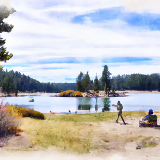
Make a day of it
Boat launches, lakeside camping, fishing access, and other reservoirs near Donnells.
Boat launches
See all →


Campgrounds
See all →


Fishing spots
See all →


River runs
See all →


About Donnells
What is the water level at Donnells Reservoir right now?
As of July 25, 2026, Donnells Reservoir is holding 13 acre-ft, about 1% of normal for this date. Pool elevation and the year-over-year trend are shown above.
Is Donnells Reservoir high or low right now?
Compare the percent-of-normal figure on this page: above 100% means storage is higher than the historical average for the date (a wet year), below 100% means lower (a dry year or drought). The daily-levels chart shows the current trend.
Where does the data for Donnells come from?
Daily storage, pool elevation, and release rates are sourced from USGS, USBR, and USACE monitoring stations. Weather forecast comes from NOAA / yr.no -- the same feed Snoflo's iOS app uses.
How often is the report updated?
Storage observations are updated daily by the operating agency. The 15-day weather forecast refreshes throughout the day. Snoflo caches and renders the most recent observation -- check the "as of" timestamp on the storage card.
What does the Hazard hazard rating mean?
The Corps of Engineers' hazard potential classification grades probable consequences if the dam fails: High = probable loss of human life; Significant = no probable loss of human life but possible economic loss / environmental damage; Low = no probable loss of human life, only minor economic / environmental losses. See the Dam Data Reference card below for the full definitions.
What's "% of normal"?
The current storage value compared to the historical average storage on this calendar day. 100% = right on average; values above 100% mean above-normal storage (wet year); values below mean below-normal (dry year or drought).
Can I get alerts when storage crosses a threshold?
Yes -- alerts are managed in the Snoflo iOS app. Favorite this reservoir, set a threshold, and you'll get a push the moment conditions cross.