Elmer J Chesbro Reservoir Reservoir Report
Nearby: R. Simoni Irrigation Uvas
Last Updated: February 21, 2026
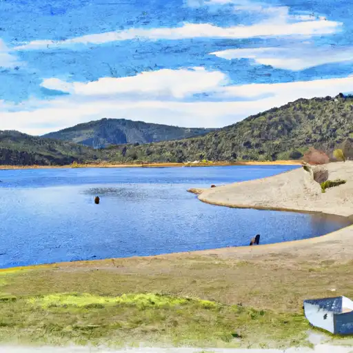
Elmer J Chesbro Reservoir is a man-made reservoir in California's Sierra Nevada Mountains.
Summary
The reservoir was created by the construction of a dam across the Fresno River in 1928. The hydrology of the reservoir is primarily fed by the snowpack in the surrounding mountains and relies on surface flow from the Fresno River. The reservoir provides water to agriculturally rich areas in Madera County such as the Chowchilla and Madera Irrigation districts. The reservoir is also a popular recreation destination for fishing, boating, and camping. The surrounding Sierra National Forest offers hiking trails and scenic views of the reservoir and surrounding mountains. The reservoir has a capacity of 85,000 acre-feet and is operated by the Madera Irrigation District.
°F
°F
mph
Wind
%
Humidity
15-Day Weather Outlook
Reservoir Details
| Storage 24hr Change | -0.34% |
| Percent of Normal | 107% |
| Minimum |
534.0 acre-ft
2021-12-11 |
| Maximum |
8,049.0 acre-ft
2023-05-02 |
| Average | 6,291 acre-ft |
| Dam_Height | 95 |
| Hydraulic_Height | 85 |
| Drainage_Area | 19.5 |
| Year_Completed | 1955 |
| Nid_Storage | 8086 |
| River_Or_Stream | Llagas Creek |
| Primary_Dam_Type | Earth |
| Surface_Area | 328 |
| Hazard_Potential | High |
| Dam_Length | 690 |
| Nid_Height | 95 |
Seasonal Comparison
Storage Levels
Pool Elevation Levels
Top Conserv Storage Levels
Inflow Levels
5-Day Hourly Forecast Detail
Nearby Streamflow Levels
 Coyote C Bl Coyote Res Nr San Martin Ca
|
337cfs |
 Coyote C Nr Gilroy Ca
|
257cfs |
 Llagas C Nr Gilroy
|
35cfs |
 Corralitos C A Freedom Ca
|
52cfs |
 Pajaro R A Chittenden Ca
|
1480cfs |
 Soquel C A Soquel Ca
|
169cfs |
Dam Data Reference
Condition Assessment
SatisfactoryNo existing or potential dam safety deficiencies are recognized. Acceptable performance is expected under all loading conditions (static, hydrologic, seismic) in accordance with the minimum applicable state or federal regulatory criteria or tolerable risk guidelines.
Fair
No existing dam safety deficiencies are recognized for normal operating conditions. Rare or extreme hydrologic and/or seismic events may result in a dam safety deficiency. Risk may be in the range to take further action. Note: Rare or extreme event is defined by the regulatory agency based on their minimum
Poor A dam safety deficiency is recognized for normal operating conditions which may realistically occur. Remedial action is necessary. POOR may also be used when uncertainties exist as to critical analysis parameters which identify a potential dam safety deficiency. Investigations and studies are necessary.
Unsatisfactory
A dam safety deficiency is recognized that requires immediate or emergency remedial action for problem resolution.
Not Rated
The dam has not been inspected, is not under state or federal jurisdiction, or has been inspected but, for whatever reason, has not been rated.
Not Available
Dams for which the condition assessment is restricted to approved government users.
Hazard Potential Classification
HighDams assigned the high hazard potential classification are those where failure or mis-operation will probably cause loss of human life.
Significant
Dams assigned the significant hazard potential classification are those dams where failure or mis-operation results in no probable loss of human life but can cause economic loss, environment damage, disruption of lifeline facilities, or impact other concerns. Significant hazard potential classification dams are often located in predominantly rural or agricultural areas but could be in areas with population and significant infrastructure.
Low
Dams assigned the low hazard potential classification are those where failure or mis-operation results in no probable loss of human life and low economic and/or environmental losses. Losses are principally limited to the owner's property.
Undetermined
Dams for which a downstream hazard potential has not been designated or is not provided.
Not Available
Dams for which the downstream hazard potential is restricted to approved government users.
Area Campgrounds
| Location | Reservations | Toilets |
|---|---|---|
 Uvas Canyon County Park
|
||
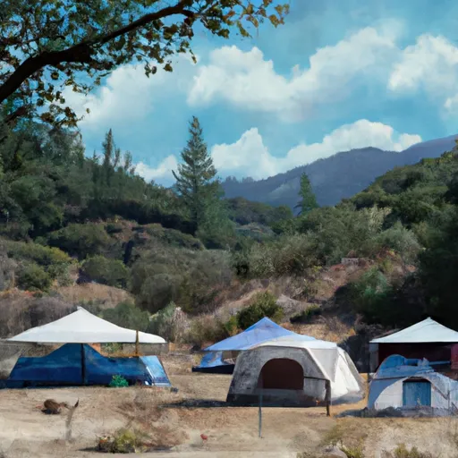 West Deer Pen Youth Camp
|
||
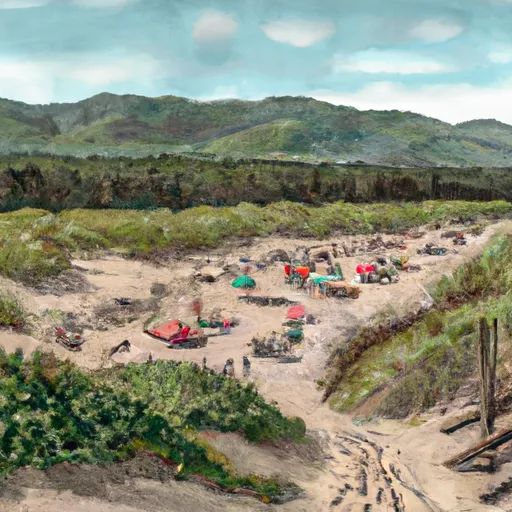 Manzanita Group Camp
|
||
 Arrowhead Group Camp
|
||
 Huckleberry Group Camp
|
||
 Mount Madonna
|

 Elmer J. Chesbro
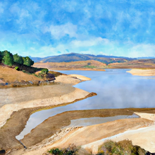 Elmer J Chesbro Reservoir
 Uvas Reservoir
 Leroy Anderson
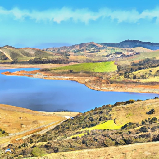 Calero Reservoir
 Coyote Res-Sta Clara
 Guadalupe Reservoir
 Oak Glen Avenue 17655, Morgan Hill
 Anderson Lake
 Calero Reservoir
 Coyote Lake
 Pinto Lake