Independence Lake Near Truckee Reservoir

Independence Lake Near Truckee
Independence Lake, located near Truckee, California, is a high-altitude lake with an interesting history. The lake is believed to be one of the oldest in the Sierra Nevada mountain range and has been protected as a natural reserve since 2012. The hydrology of the lake is unique, with a relatively shallow depth and a small watershed. The lake's water comes from snowmelt and precipitation, with the majority of it being provided by the surrounding snowpack. The lake serves as a vital source of water for the surrounding landscape and supports a variety of plant and animal species. There are no agricultural uses for the lake, but it is a popular destination for recreation, including fishing, hiking, and camping.
Plan around the weather
Same NOAA / yr.no feed Snoflo's iOS app uses. Watch the precipitation column on the meteogram -- rain on the basin upstream typically lifts inflow 24-72 hours later.
Next 5 days, hour by hour
Temperature line with weather symbols on top, snow + rain accumulation as columns, humidity as a dotted line.
5-day forecast table
Every 3 hours, broken out across temperature, snow, rain, humidity, and wind. Each cell is colour-coded relative to the column min/max.
| Time | Condition | Temp (°F) | Snow (in) | Rain (in) | Humidity (%) | Wind (mps) | Wind dir |
|---|---|---|---|---|---|---|---|
| Loading detailed forecast… | |||||||
15-day temperature & precipitation
Daily temperatures, snow, and rain projected over the next two weeks.
Nearby streamflow gauges
USGS streamgauges around Independence Lake Near Truckee -- inflows here typically show up in storage 24-72 hours later.
| Streamgauge | Discharge | View |
|---|---|---|
| Independence C Nr Truckee Ca | 6 cfs | → |
| Sagehen C Nr Truckee Ca | 2 cfs | → |
| Little Truckee R Bl Div Dam Nr Sierraville Ca | 3 cfs | → |
| Donner C A Donner Lk Nr Truckee Ca | 4 cfs | → |
| Donner C At Hwy 89 Nr Truckee Ca | 7 cfs | → |
| Prosser C Bl Prosser C Dam Nr Truckee Ca | 43 cfs | → |
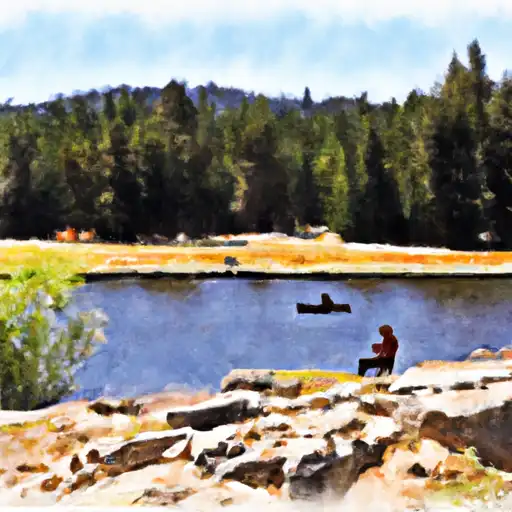
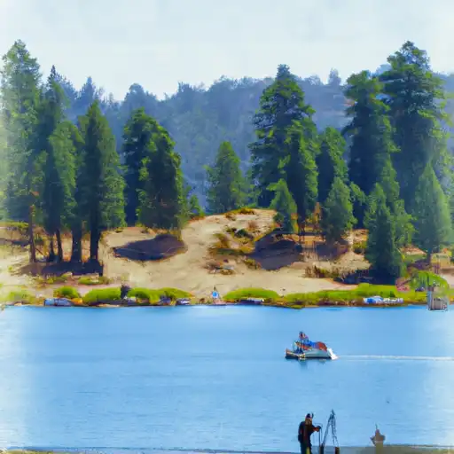
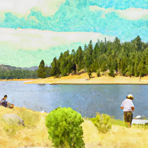
Make a day of it
Boat launches, lakeside camping, fishing access, and other reservoirs near Independence Lake Near Truckee.
Boat launches
See all →


Campgrounds
See all →


Fishing spots
See all →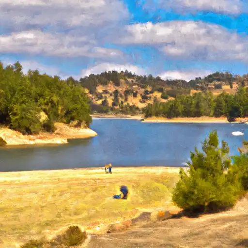


River runs
See all →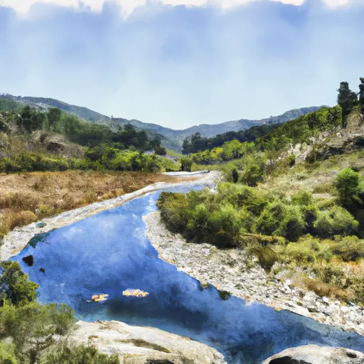


About Independence Lake Near Truckee
Where does the data for Independence Lake Near Truckee come from?
Daily storage, pool elevation, and release rates are sourced from USGS, USBR, and USACE monitoring stations. Weather forecast comes from NOAA / yr.no -- the same feed Snoflo's iOS app uses.
How often is the report updated?
Storage observations are updated daily by the operating agency. The 15-day weather forecast refreshes throughout the day. Snoflo caches and renders the most recent observation -- check the "as of" timestamp on the storage card.
What does the Hazard hazard rating mean?
The Corps of Engineers' hazard potential classification grades probable consequences if the dam fails: High = probable loss of human life; Significant = no probable loss of human life but possible economic loss / environmental damage; Low = no probable loss of human life, only minor economic / environmental losses. See the Dam Data Reference card below for the full definitions.
What's "% of normal"?
The current storage value compared to the historical average storage on this calendar day. 100% = right on average; values above 100% mean above-normal storage (wet year); values below mean below-normal (dry year or drought).
Can I get alerts when storage crosses a threshold?
Yes -- alerts are managed in the Snoflo iOS app. Favorite this reservoir, set a threshold, and you'll get a push the moment conditions cross.