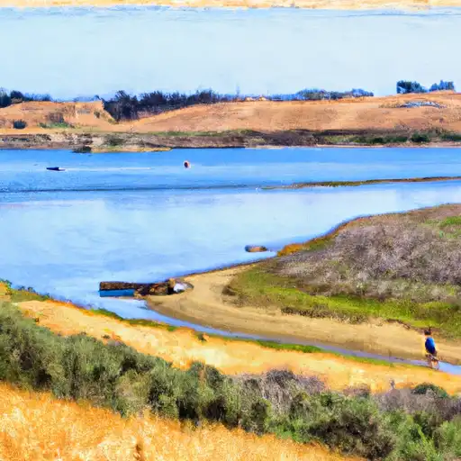
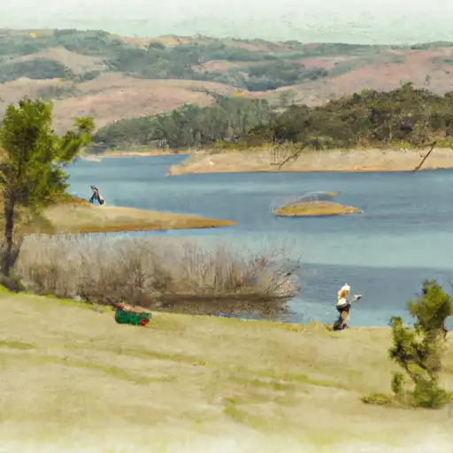
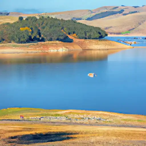
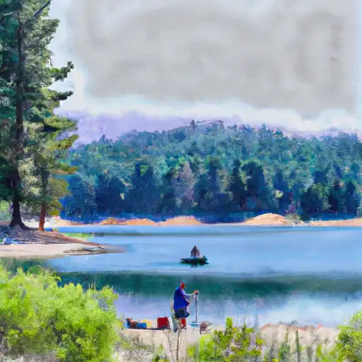
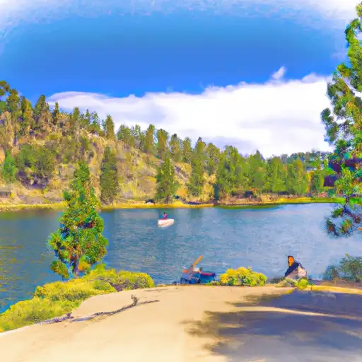
Oroville Dam reservoir

Oroville Dam
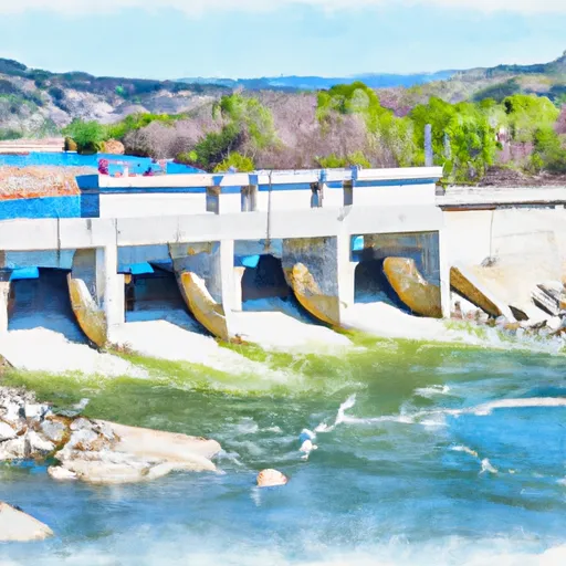
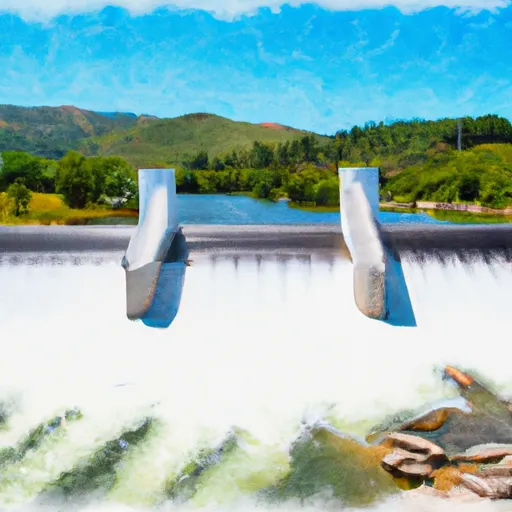
Oroville Dam, located in California, is the tallest dam in the United States and plays a significant role in the state's water supply. The dam was completed in 1968 and provides hydroelectric power, flood control, and irrigation water to the surrounding agricultural areas. The dam's reservoir is fed by the Feather River, which in turn is supplied by both surface flow and snowpack from the Sierra Nevada mountains. The reservoir also serves as a recreational area for boating, fishing, and camping. However, in 2017, the dam experienced significant damage during heavy rains, leading to concerns about its safety and necessitating emergency repairs. Despite these concerns, Oroville Dam continues to be an essential component of California's water infrastructure.
Plan around the weather
Same NOAA / yr.no feed Snoflo's iOS app uses. Watch the precipitation column on the meteogram -- rain on the basin upstream typically lifts inflow 24-72 hours later.
Next 5 days, hour by hour
Temperature line with weather symbols on top, snow + rain accumulation as columns, humidity as a dotted line.
5-day forecast table
Every 3 hours, broken out across temperature, snow, rain, humidity, and wind. Each cell is colour-coded relative to the column min/max.
| Time | Condition | Temp (°F) | Snow (in) | Rain (in) | Humidity (%) | Wind (mps) | Wind dir |
|---|---|---|---|---|---|---|---|
| Loading detailed forecast… | |||||||
15-day temperature & precipitation
Daily temperatures, snow, and rain projected over the next two weeks.
Nearby streamflow gauges
USGS streamgauges around Oroville Dam -- inflows here typically show up in storage 24-72 hours later.
| Streamgauge | Discharge | View |
|---|---|---|
| Butte C Nr Chico Ca | 164 cfs | → |
| Deer C Nr Smartville Ca | 3 cfs | → |
| Yuba R Nr Marysville Ca | 522 cfs | → |
| N Yuba R Bl Goodyears Bar Ca | 175 cfs | → |
| Sacramento R A Colusa Ca | 8,660 cfs | → |
| Bear R Nr Wheatland Ca | 28 cfs | → |


About Oroville Dam
Where does the data for Oroville Dam come from?
Daily storage, pool elevation, and release rates are sourced from USGS, USBR, and USACE monitoring stations. Weather forecast comes from NOAA / yr.no -- the same feed Snoflo's iOS app uses.
How often is the report updated?
Storage observations are updated daily by the operating agency. The 15-day weather forecast refreshes throughout the day. Snoflo caches and renders the most recent observation -- check the "as of" timestamp on the storage card.
What does the Hazard hazard rating mean?
The Corps of Engineers' hazard potential classification grades probable consequences if the dam fails: High = probable loss of human life; Significant = no probable loss of human life but possible economic loss / environmental damage; Low = no probable loss of human life, only minor economic / environmental losses. See the Dam Data Reference card below for the full definitions.
What's "% of normal"?
The current storage value compared to the historical average storage on this calendar day. 100% = right on average; values above 100% mean above-normal storage (wet year); values below mean below-normal (dry year or drought).
Can I get alerts when storage crosses a threshold?
Yes -- alerts are managed in the Snoflo iOS app. Favorite this reservoir, set a threshold, and you'll get a push the moment conditions cross.