Spring Creek Debris Dam Reservoir Report
Nearby: Keswick Slickrock Creek
Last Updated: February 21, 2026
Spring Creek Debris Dam is located in Butte County, California and was constructed in 1965 as a flood control measure.
Summary
The dam is 1,130 feet long and 110 feet high and has a capacity of 62,700 acre-feet. The hydrology of Spring Creek is fed by two main sources; surface flow from the surrounding hills and mountains, and snowpack from the Sierra Nevada Mountains. The area surrounding the dam is primarily agricultural with crops such as rice, almonds, and walnuts being grown. The reservoir created by the dam is also used for recreational purposes, including fishing, boating, and camping. The dam is periodically inspected and maintained to ensure safety and effectiveness in flood control.
°F
°F
mph
Wind
%
Humidity
15-Day Weather Outlook
Reservoir Details
| Storage 24hr Change | 0.0% |
| Percent of Normal | 116% |
| Minimum |
562.0 acre-ft
2010-10-15 |
| Maximum |
5,966.0 acre-ft
2019-02-27 |
| Average | 1,460 acre-ft |
| Nid_Height | 196 |
| Hydraulic_Height | 184 |
| Primary_Dam_Type | Earth |
| Drainage_Area | 16 |
| Year_Completed | 1964 |
| Dam_Height | 196 |
| Structural_Height | 196 |
| River_Or_Stream | SPRING CREEK |
| Foundations | Rock |
| Surface_Area | 87 |
| Hazard_Potential | High |
| Nid_Storage | 7286 |
| Dam_Length | 1110 |
Seasonal Comparison
Storage Levels
Pool Elevation Levels
Top Conserv Storage Levels
Inflow Levels
5-Day Hourly Forecast Detail
Nearby Streamflow Levels
 Sacramento R A Keswick Ca
|
5830cfs |
 Anderson-Cottonwood Id Cn At Sharon St Redding Ca
|
41cfs |
 Clear C Nr Igo Ca
|
389cfs |
 Cow C Nr Millville Ca
|
1140cfs |
 Trinity R A Lewiston Ca
|
313cfs |
 Rush C Nr Lewiston Ca
|
24cfs |
Dam Data Reference
Condition Assessment
SatisfactoryNo existing or potential dam safety deficiencies are recognized. Acceptable performance is expected under all loading conditions (static, hydrologic, seismic) in accordance with the minimum applicable state or federal regulatory criteria or tolerable risk guidelines.
Fair
No existing dam safety deficiencies are recognized for normal operating conditions. Rare or extreme hydrologic and/or seismic events may result in a dam safety deficiency. Risk may be in the range to take further action. Note: Rare or extreme event is defined by the regulatory agency based on their minimum
Poor A dam safety deficiency is recognized for normal operating conditions which may realistically occur. Remedial action is necessary. POOR may also be used when uncertainties exist as to critical analysis parameters which identify a potential dam safety deficiency. Investigations and studies are necessary.
Unsatisfactory
A dam safety deficiency is recognized that requires immediate or emergency remedial action for problem resolution.
Not Rated
The dam has not been inspected, is not under state or federal jurisdiction, or has been inspected but, for whatever reason, has not been rated.
Not Available
Dams for which the condition assessment is restricted to approved government users.
Hazard Potential Classification
HighDams assigned the high hazard potential classification are those where failure or mis-operation will probably cause loss of human life.
Significant
Dams assigned the significant hazard potential classification are those dams where failure or mis-operation results in no probable loss of human life but can cause economic loss, environment damage, disruption of lifeline facilities, or impact other concerns. Significant hazard potential classification dams are often located in predominantly rural or agricultural areas but could be in areas with population and significant infrastructure.
Low
Dams assigned the low hazard potential classification are those where failure or mis-operation results in no probable loss of human life and low economic and/or environmental losses. Losses are principally limited to the owner's property.
Undetermined
Dams for which a downstream hazard potential has not been designated or is not provided.
Not Available
Dams for which the downstream hazard potential is restricted to approved government users.

 Horse Camp Primitive Campground
 Peltier Campground
 Peltier Bridge Primitive Campground
 Brandy Creek Campground
 Brandy Creek RV
 Dry Creek Campground
 Spring Creek Debris
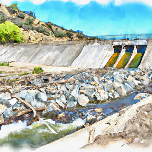 Spring Creek Debris Dam
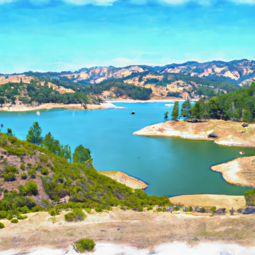 Keswick Reservoir
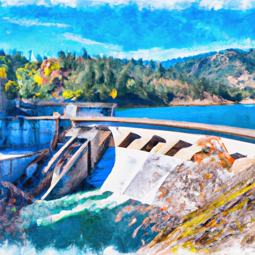 Whiskeytown Dam (Usbr)
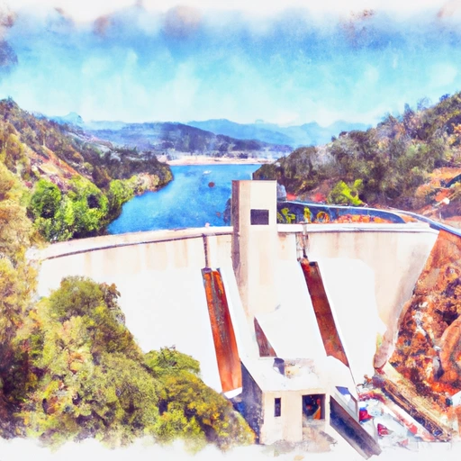 Shasta Dam (Usbr)
 Keswick Boat Ramp
 Clear Creek