Thermalito Afterbay Reservoir Report
Nearby: Thermalito Forebay Fish Barrier
Last Updated: February 21, 2026
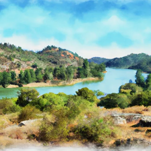
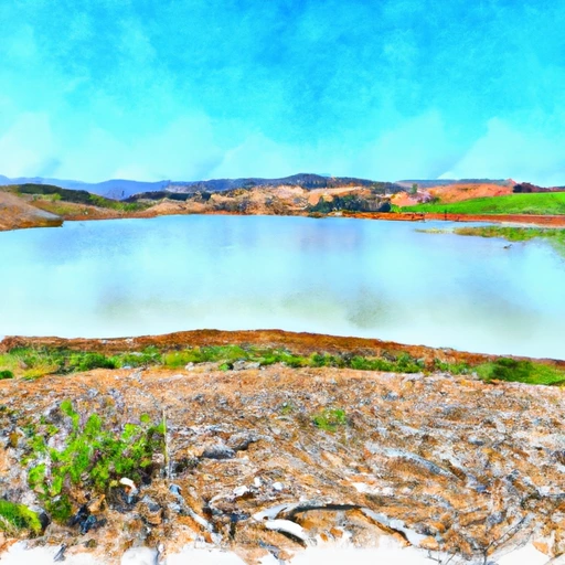
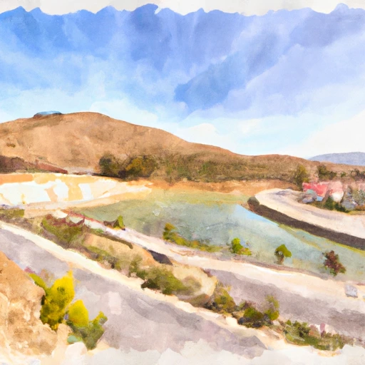
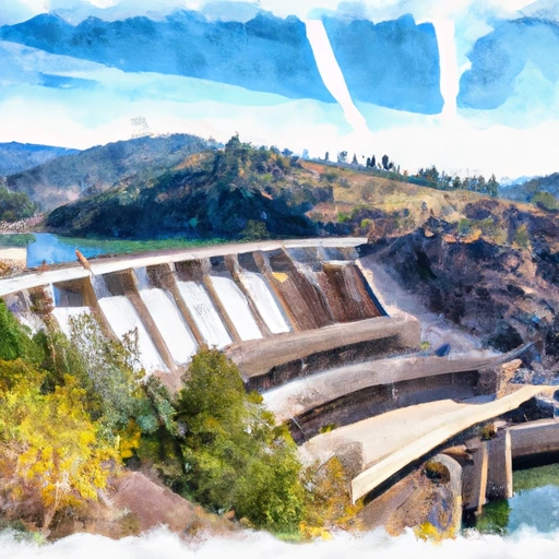
Thermalito Afterbay is a man-made reservoir located in Butte County, California.
Summary
It was constructed in the 1960s as a part of the Oroville-Thermalito Complex and was designed to provide a place to store and regulate water released from Oroville Dam. The afterbay has a capacity of 210,000 acre-feet and covers approximately 4,000 acres.
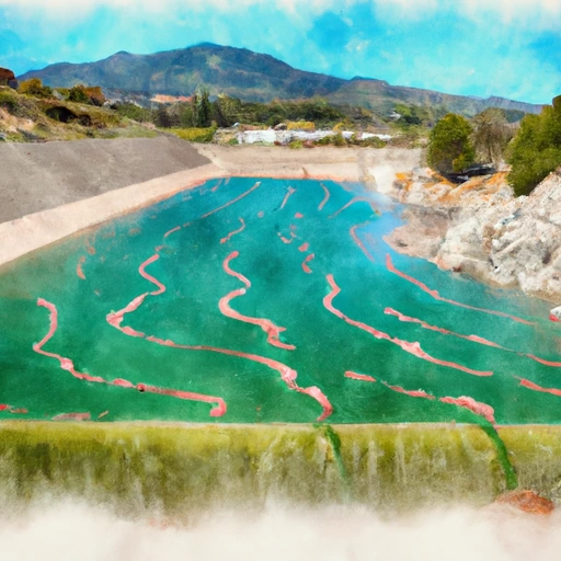
The hydrology of Thermalito Afterbay is influenced by both surface flow and snowpack. The reservoir receives water from the Feather River via the Feather River Diversion Pool, and from the Thermalito Diversion Dam. The afterbay also receives water from snowpack runoff during the spring and summer months.
The primary agricultural uses of Thermalito Afterbay are for irrigation and fish farming. The reservoir is also used for recreational purposes, such as fishing, boating, and swimming.
°F
°F
mph
Wind
%
Humidity
15-Day Weather Outlook
Reservoir Details
| 24hr Change | None% |
| Percent of Normal | None% |
| Minimum |
|
| Maximum |
|
| Average |
Seasonal Comparison
Storage Levels
Pool Elevation Levels
Top Conserv Storage Levels
Inflow Levels
5-Day Hourly Forecast Detail
Nearby Streamflow Levels
 Butte C Nr Chico Ca
|
612cfs |
 Yuba R Nr Marysville Ca
|
4610cfs |
 Deer C Nr Smartville Ca
|
301cfs |
 Sacramento R A Colusa Ca
|
28100cfs |
 Sacramento R Bl Wilkins Slough Nr Grimes Ca
|
23500cfs |
 Bear R Nr Wheatland Ca
|
1780cfs |
Dam Data Reference
Condition Assessment
SatisfactoryNo existing or potential dam safety deficiencies are recognized. Acceptable performance is expected under all loading conditions (static, hydrologic, seismic) in accordance with the minimum applicable state or federal regulatory criteria or tolerable risk guidelines.
Fair
No existing dam safety deficiencies are recognized for normal operating conditions. Rare or extreme hydrologic and/or seismic events may result in a dam safety deficiency. Risk may be in the range to take further action. Note: Rare or extreme event is defined by the regulatory agency based on their minimum
Poor A dam safety deficiency is recognized for normal operating conditions which may realistically occur. Remedial action is necessary. POOR may also be used when uncertainties exist as to critical analysis parameters which identify a potential dam safety deficiency. Investigations and studies are necessary.
Unsatisfactory
A dam safety deficiency is recognized that requires immediate or emergency remedial action for problem resolution.
Not Rated
The dam has not been inspected, is not under state or federal jurisdiction, or has been inspected but, for whatever reason, has not been rated.
Not Available
Dams for which the condition assessment is restricted to approved government users.
Hazard Potential Classification
HighDams assigned the high hazard potential classification are those where failure or mis-operation will probably cause loss of human life.
Significant
Dams assigned the significant hazard potential classification are those dams where failure or mis-operation results in no probable loss of human life but can cause economic loss, environment damage, disruption of lifeline facilities, or impact other concerns. Significant hazard potential classification dams are often located in predominantly rural or agricultural areas but could be in areas with population and significant infrastructure.
Low
Dams assigned the low hazard potential classification are those where failure or mis-operation results in no probable loss of human life and low economic and/or environmental losses. Losses are principally limited to the owner's property.
Undetermined
Dams for which a downstream hazard potential has not been designated or is not provided.
Not Available
Dams for which the downstream hazard potential is restricted to approved government users.
Area Campgrounds
| Location | Reservations | Toilets |
|---|---|---|
 Bidwell Canyon - Lake Oroville State Rec Area
|
||
 Loafer Creek - Lake Oroville State Rec Area
|
||
 Live Oak Riverfront Park
|

 Thermalito Afterbay
 Thermalito Afterbay
 Thermalito Total
 Thermalito Diversion Pool
 Oroville Dam
 Butte County