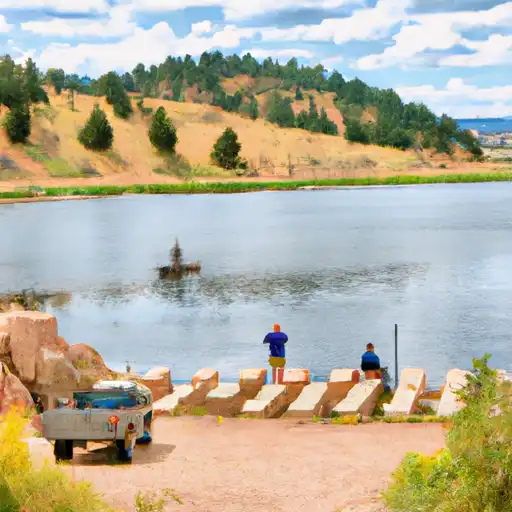
W. Cherry Creek Det. #5 Reservoir Report
Last Updated: February 22, 2026
W.
Summary
Cherry Creek Detention #5, located in Franktown, Colorado, is a key structure designed by the USDA NRCS to provide flood risk reduction along the West Cherry Creek-TR. Completed in 1960, this earth dam stands at a height of 22 feet and a length of 625 feet, offering a maximum storage capacity of 101 acre-feet. Despite its low hazard potential and satisfactory condition assessment, the dam is regulated, permitted, inspected, and enforced by the Colorado Department of Water Resources to ensure its functionality and safety.
With a spillway width of 203 feet and a maximum discharge capacity of 5146 cubic feet per second, W. Cherry Creek Det. #5 plays a crucial role in managing water flow and reducing flood risks in the El Paso County area. Its location at S11,T.11S,R.66W, 6TH PM allows for efficient drainage over a 2 square mile drainage area, providing essential protection for the surrounding community. Despite its moderate risk assessment level, the dam continues to meet regulatory guidelines and remains a vital asset for water resource management in the region.
As a part of the Albuquerque District under the Natural Resources Conservation Service, W. Cherry Creek Det. #5 represents a collaborative effort in water resource management, demonstrating the importance of infrastructure in mitigating climate-related risks. With its historical significance and ongoing maintenance, this detention structure serves as a testament to the commitment towards sustainable water management practices in Colorado.
°F
°F
mph
Wind
%
Humidity
15-Day Weather Outlook
Year Completed |
1960 |
Dam Length |
625 |
Dam Height |
22 |
River Or Stream |
WEST CHERRY CREEK-TR |
Primary Dam Type |
Earth |
Surface Area |
10 |
Hydraulic Height |
22 |
Drainage Area |
2 |
Nid Storage |
101 |
Structural Height |
26 |
Hazard Potential |
Low |
Nid Height |
26 |
Seasonal Comparison
5-Day Hourly Forecast Detail
Nearby Streamflow Levels
Dam Data Reference
Condition Assessment
SatisfactoryNo existing or potential dam safety deficiencies are recognized. Acceptable performance is expected under all loading conditions (static, hydrologic, seismic) in accordance with the minimum applicable state or federal regulatory criteria or tolerable risk guidelines.
Fair
No existing dam safety deficiencies are recognized for normal operating conditions. Rare or extreme hydrologic and/or seismic events may result in a dam safety deficiency. Risk may be in the range to take further action. Note: Rare or extreme event is defined by the regulatory agency based on their minimum
Poor A dam safety deficiency is recognized for normal operating conditions which may realistically occur. Remedial action is necessary. POOR may also be used when uncertainties exist as to critical analysis parameters which identify a potential dam safety deficiency. Investigations and studies are necessary.
Unsatisfactory
A dam safety deficiency is recognized that requires immediate or emergency remedial action for problem resolution.
Not Rated
The dam has not been inspected, is not under state or federal jurisdiction, or has been inspected but, for whatever reason, has not been rated.
Not Available
Dams for which the condition assessment is restricted to approved government users.
Hazard Potential Classification
HighDams assigned the high hazard potential classification are those where failure or mis-operation will probably cause loss of human life.
Significant
Dams assigned the significant hazard potential classification are those dams where failure or mis-operation results in no probable loss of human life but can cause economic loss, environment damage, disruption of lifeline facilities, or impact other concerns. Significant hazard potential classification dams are often located in predominantly rural or agricultural areas but could be in areas with population and significant infrastructure.
Low
Dams assigned the low hazard potential classification are those where failure or mis-operation results in no probable loss of human life and low economic and/or environmental losses. Losses are principally limited to the owner's property.
Undetermined
Dams for which a downstream hazard potential has not been designated or is not provided.
Not Available
Dams for which the downstream hazard potential is restricted to approved government users.


 W. Cherry Creek Det. #5
 Deadmans Creek
 Palmer Lake
 Upper Reservoir - Palmer Lake