Cheesman Dam

Cheesman
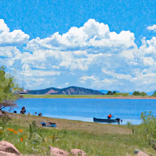
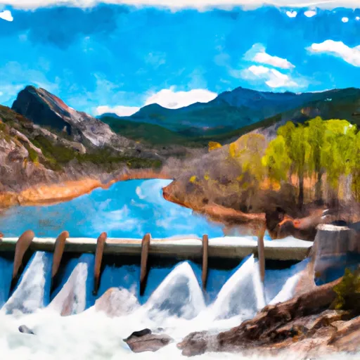
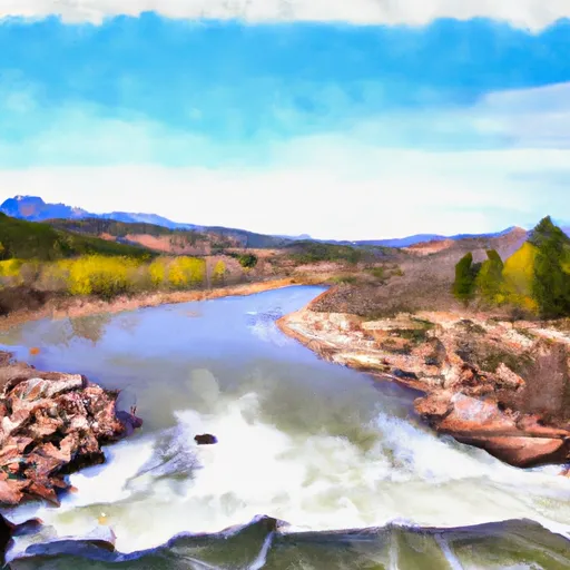
Cheesman Dam, located in Deckers, Colorado, is a historic masonry structure completed in 1905 for the primary purpose of water supply. It stands at an impressive height of 221 feet and has a length of 710 feet, holding a maximum storage capacity of 87,227 acre-feet. The dam, situated on the South Platte River, serves as a vital resource for the surrounding area and is under state regulation and inspection to ensure its safety and efficacy.
With a high hazard potential due to its size and location, Cheesman Dam has been assessed as being in satisfactory condition as of June 2020. Despite its age, the dam continues to meet guidelines for risk management and emergency preparedness. The surrounding Jefferson County, Colorado, benefits from the normal storage capacity of 79,064 acre-feet and a drainage area of 1,750 square miles, highlighting the critical role Cheesman plays in maintaining water resources for the region.
Supported by a moderate risk assessment rating, Cheesman Dam is a significant structure within the Albuquerque District of the US Army Corps of Engineers. Owned by a public utility, the dam's operational efficiency and adherence to safety standards underscore its importance in water management and climate resilience efforts in the state of Colorado.
Plan around the weather
Same NOAA / yr.no feed Snoflo's iOS app uses. Watch the precipitation column on the meteogram -- rain on the basin upstream typically lifts inflow 24-72 hours later.
Next 5 days, hour by hour
Temperature line with weather symbols on top, snow + rain accumulation as columns, humidity as a dotted line.
5-day forecast table
Every 3 hours, broken out across temperature, snow, rain, humidity, and wind. Each cell is colour-coded relative to the column min/max.
| Time | Condition | Temp (°F) | Snow (in) | Rain (in) | Humidity (%) | Wind (mps) | Wind dir |
|---|---|---|---|---|---|---|---|
| Loading detailed forecast… | |||||||
15-day temperature & precipitation
Daily temperatures, snow, and rain projected over the next two weeks.
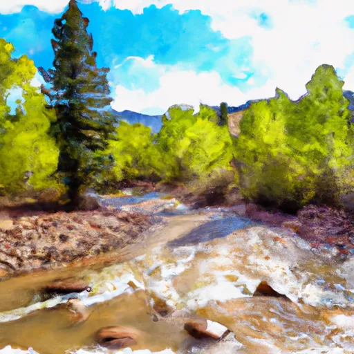
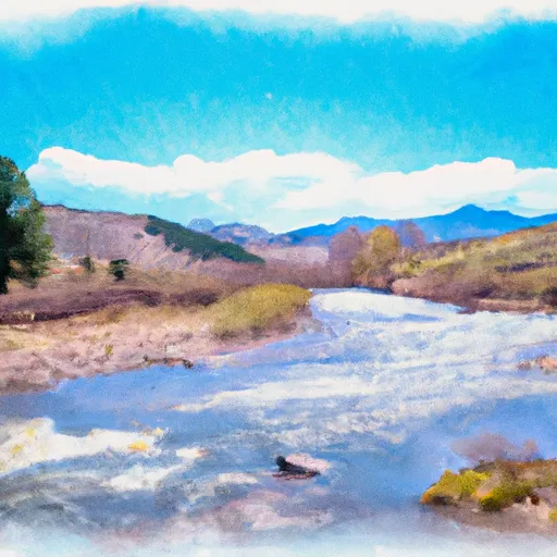
Nearby streamflow gauges
USGS streamgauges around Cheesman -- inflows here typically show up in storage 24-72 hours later.
| Streamgauge | Discharge | View |
|---|---|---|
| South Platte River Below Cheesman Lake | 200 cfs | → |
| South Platte River Above Cheesman Lake | 102 cfs | → |
| So. Platte R. Blw Brush Cr. Nr Trumbull Co | 197 cfs | → |
| West Cr. Abv Shrewsbury Gulch Nr Westcreek Co | 1 cfs | → |
| Trout Creek Blw Fern Cr Nr Westcreek | 1 cfs | → |
| South Platte River At South Platte | 542 cfs | → |


About Cheesman
Where does the data for Cheesman come from?
Structural and regulatory data come from the U.S. Army Corps of Engineers' National Inventory of Dams (NID). Weather forecast comes from NOAA / yr.no -- the same feed Snoflo's iOS app uses.
How often is the report updated?
NID structural data refreshes annually as the Corps publishes updated assessments. The weather forecast refreshes throughout the day.
What does the High hazard rating mean?
The Corps of Engineers' hazard potential classification grades probable consequences if the dam fails: High = probable loss of human life; Significant = no probable loss of human life but possible economic loss / environmental damage; Low = no probable loss of human life, only minor economic / environmental losses. See the Dam Data Reference card below for the full definitions.
What's "% of normal"?
The current storage value compared to the historical average storage on this calendar day. 100% = right on average; values above 100% mean above-normal storage (wet year); values below mean below-normal (dry year or drought).
Can I get alerts when storage crosses a threshold?
Yes -- alerts are managed in the Snoflo iOS app. Favorite this dam, set a threshold, and you'll get a push the moment conditions cross.
Dam data reference
Condition Assessment
- Satisfactory
- No existing or potential dam safety deficiencies are recognized. Acceptable performance is expected under all loading conditions (static, hydrologic, seismic) in accordance with the minimum applicable state or federal regulatory criteria or tolerable risk guidelines.
- Fair
- No existing dam safety deficiencies are recognized for normal operating conditions. Rare or extreme hydrologic and/or seismic events may result in a dam safety deficiency. Risk may be in the range to take further action.
- Poor
- A dam safety deficiency is recognized for normal operating conditions which may realistically occur. Remedial action is necessary. POOR may also be used when uncertainties exist as to critical analysis parameters which identify a potential dam safety deficiency.
- Unsatisfactory
- A dam safety deficiency is recognized that requires immediate or emergency remedial action for problem resolution.
- Not Rated
- The dam has not been inspected, is not under state or federal jurisdiction, or has been inspected but, for whatever reason, has not been rated.
Hazard Potential Classification
- High
- Dams assigned the high hazard potential classification are those where failure or mis-operation will probably cause loss of human life.
- Significant
- Dams assigned the significant hazard potential classification are those dams where failure or mis-operation results in no probable loss of human life but can cause economic loss, environmental damage, disruption of lifeline facilities, or impact other concerns. Significant hazard potential classification dams are often located in predominantly rural or agricultural areas but could be in areas with population and significant infrastructure.
- Low
- Dams assigned the low hazard potential classification are those where failure or mis-operation results in no probable loss of human life and low economic and/or environmental losses. Losses are principally limited to the owner's property.
- Undetermined
- Dams for which a downstream hazard potential has not been designated or is not provided.