Alexander Reservoir Report
Last Updated: February 22, 2026
Alexander Dam, located in Montrose, Colorado, is a private irrigation structure completed in 1968 with a primary purpose of irrigation.
Summary
This earth dam stands at a height of 28 feet and has a hydraulic height of 33 feet, providing a storage capacity of 36 acre-feet. Despite its low hazard potential and fair condition assessment, the dam poses a high risk, prompting the need for risk management measures. The dam is regulated and inspected by the Colorado Division of Water Resources, ensuring its safety and compliance with state regulations.
Situated on Spring Creek-TR, Alexander Dam serves various purposes including fire protection, stock watering, and recreation in addition to irrigation. With a structural length of 330 feet and a surface area of 3 acres, the dam has uncontrolled outlet gates and no spillway. The surrounding area is under the jurisdiction of the state, with regular inspections and enforcement measures in place to maintain its integrity. The dam is a vital water resource for the city of Olathe, providing essential water supply for agricultural and recreational activities.
Owned and operated privately, Alexander Dam plays a crucial role in water management within the region. With a congressman representing the area, the dam's importance in sustaining water resources for the community is recognized at the federal level. As climate change continues to impact water availability and quality, structures like Alexander Dam become increasingly essential for ensuring a sustainable water supply for current and future generations.
°F
°F
mph
Wind
%
Humidity
15-Day Weather Outlook
Year Completed |
1968 |
Dam Length |
330 |
Dam Height |
28 |
River Or Stream |
SPRING CREEK-TR |
Primary Dam Type |
Earth |
Surface Area |
3 |
Hydraulic Height |
33 |
Nid Storage |
36 |
Structural Height |
33 |
Outlet Gates |
Slide (sluice gate), Uncontrolled |
Hazard Potential |
Low |
Foundations |
Rock |
Nid Height |
33 |
Seasonal Comparison
5-Day Hourly Forecast Detail
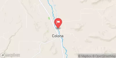
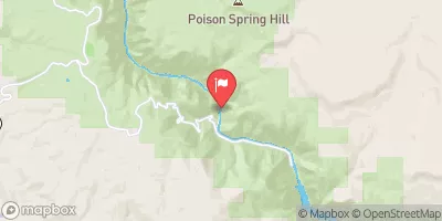
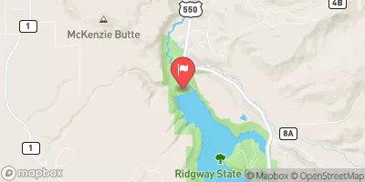
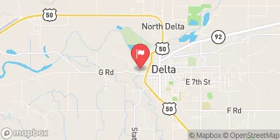
Nearby Streamflow Levels
Dam Data Reference
Condition Assessment
SatisfactoryNo existing or potential dam safety deficiencies are recognized. Acceptable performance is expected under all loading conditions (static, hydrologic, seismic) in accordance with the minimum applicable state or federal regulatory criteria or tolerable risk guidelines.
Fair
No existing dam safety deficiencies are recognized for normal operating conditions. Rare or extreme hydrologic and/or seismic events may result in a dam safety deficiency. Risk may be in the range to take further action. Note: Rare or extreme event is defined by the regulatory agency based on their minimum
Poor A dam safety deficiency is recognized for normal operating conditions which may realistically occur. Remedial action is necessary. POOR may also be used when uncertainties exist as to critical analysis parameters which identify a potential dam safety deficiency. Investigations and studies are necessary.
Unsatisfactory
A dam safety deficiency is recognized that requires immediate or emergency remedial action for problem resolution.
Not Rated
The dam has not been inspected, is not under state or federal jurisdiction, or has been inspected but, for whatever reason, has not been rated.
Not Available
Dams for which the condition assessment is restricted to approved government users.
Hazard Potential Classification
HighDams assigned the high hazard potential classification are those where failure or mis-operation will probably cause loss of human life.
Significant
Dams assigned the significant hazard potential classification are those dams where failure or mis-operation results in no probable loss of human life but can cause economic loss, environment damage, disruption of lifeline facilities, or impact other concerns. Significant hazard potential classification dams are often located in predominantly rural or agricultural areas but could be in areas with population and significant infrastructure.
Low
Dams assigned the low hazard potential classification are those where failure or mis-operation results in no probable loss of human life and low economic and/or environmental losses. Losses are principally limited to the owner's property.
Undetermined
Dams for which a downstream hazard potential has not been designated or is not provided.
Not Available
Dams for which the downstream hazard potential is restricted to approved government users.

 Alexander