Ward Lake Reservoir Report
Nearby: Sheep Lake Deep Slough
Last Updated: February 11, 2026
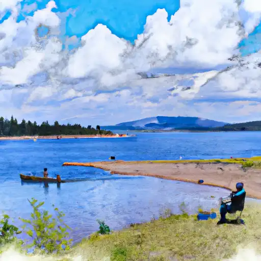
Ward Lake, also known as Reservoir #12 or Deep Ward, is a privately owned reservoir located in Cedaredge, Colorado.
Summary
This reservoir, completed in 1958, serves primarily for irrigation purposes, with a storage capacity of 2,200 acre-feet and a normal storage level of 1,710 acre-feet. Ward Lake also offers recreational opportunities and covers a surface area of 83 acres, making it a serene destination for water resource and climate enthusiasts.
Situated on Ward Creek in Delta County, Ward Lake's dam stands at a height of 27 feet and has a hydraulic height of 31 feet. The high hazard potential of the dam is closely monitored, with regular inspections and enforcement conducted by the Colorado Department of Water Resources. The reservoir features an uncontrolled spillway and outlet gates for water release, ensuring the safety and integrity of the structure. Despite being rated in fair condition, Ward Lake continues to be a vital resource for irrigation and recreation in the region, attracting visitors with its scenic beauty and strategic water management practices.
With its strategic location and vital role in water resource management, Ward Lake stands as a significant landmark in Colorado. As a privately owned reservoir with a rich history dating back to the 1950s, Ward Lake serves as a prime example of sustainable water use for irrigation and recreation. Its moderate risk assessment and fair condition underscore the importance of ongoing monitoring and maintenance to ensure the safety and longevity of this valuable water resource. For water resource and climate enthusiasts, Ward Lake offers a compelling blend of history, functionality, and natural beauty worth exploring and appreciating.
°F
°F
mph
Wind
%
Humidity
15-Day Weather Outlook
Year Completed |
1958 |
Dam Length |
380 |
Dam Height |
27 |
River Or Stream |
WARD CREEK |
Primary Dam Type |
Earth |
Surface Area |
83 |
Hydraulic Height |
31 |
Drainage Area |
1 |
Nid Storage |
2200 |
Structural Height |
31 |
Outlet Gates |
Slide (sluice gate), Uncontrolled |
Hazard Potential |
High |
Foundations |
Rock, Soil |
Nid Height |
31 |
Seasonal Comparison
5-Day Hourly Forecast Detail
Nearby Streamflow Levels
Dam Data Reference
Condition Assessment
SatisfactoryNo existing or potential dam safety deficiencies are recognized. Acceptable performance is expected under all loading conditions (static, hydrologic, seismic) in accordance with the minimum applicable state or federal regulatory criteria or tolerable risk guidelines.
Fair
No existing dam safety deficiencies are recognized for normal operating conditions. Rare or extreme hydrologic and/or seismic events may result in a dam safety deficiency. Risk may be in the range to take further action. Note: Rare or extreme event is defined by the regulatory agency based on their minimum
Poor A dam safety deficiency is recognized for normal operating conditions which may realistically occur. Remedial action is necessary. POOR may also be used when uncertainties exist as to critical analysis parameters which identify a potential dam safety deficiency. Investigations and studies are necessary.
Unsatisfactory
A dam safety deficiency is recognized that requires immediate or emergency remedial action for problem resolution.
Not Rated
The dam has not been inspected, is not under state or federal jurisdiction, or has been inspected but, for whatever reason, has not been rated.
Not Available
Dams for which the condition assessment is restricted to approved government users.
Hazard Potential Classification
HighDams assigned the high hazard potential classification are those where failure or mis-operation will probably cause loss of human life.
Significant
Dams assigned the significant hazard potential classification are those dams where failure or mis-operation results in no probable loss of human life but can cause economic loss, environment damage, disruption of lifeline facilities, or impact other concerns. Significant hazard potential classification dams are often located in predominantly rural or agricultural areas but could be in areas with population and significant infrastructure.
Low
Dams assigned the low hazard potential classification are those where failure or mis-operation results in no probable loss of human life and low economic and/or environmental losses. Losses are principally limited to the owner's property.
Undetermined
Dams for which a downstream hazard potential has not been designated or is not provided.
Not Available
Dams for which the downstream hazard potential is restricted to approved government users.

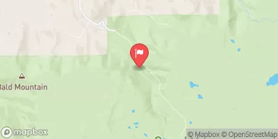
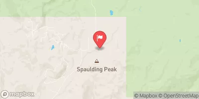
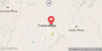
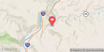
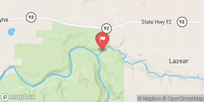
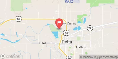
 Ward Lake
 Ward Lake Campground - Grand Valley RD
 Cobbett Campground - Grand Valley RD
 Carp Lake
 Little Bear Campground - Grand Valley RD
 Island Lake Campground - Grand Valley RD
 Ward Lake
 Ward Lake Boat Access - Grand Valley RD
 Deep Slough Reservoir
 Cobbett (Carp) Lake
 Island Lake (Grand Mesa)
 Little Gem Reservoir
 Alexander Lake