Lower Cogdill Reservoir Report
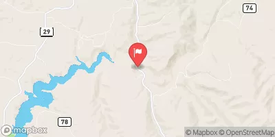
Nearby: Upper Cogdill B-2
Last Updated: February 12, 2026
Lower Cogdill, located in Moffat County, Colorado, is a privately owned earth dam that was completed in 1956 for the primary purpose of water supply.
Summary
With a dam height of 38 feet and a hydraulic height of 39 feet, Lower Cogdill stores a maximum of 275 acre-feet of water with a normal storage capacity of 173 acre-feet. The dam spans 480 feet in length and has a surface area of 17 acres, serving as a vital resource for fire protection, stock watering, and maintaining fish and wildlife habitats.
Despite being classified as having a low hazard potential and a fair condition assessment, Lower Cogdill is subject to state regulation and enforcement, with inspection and permitting requirements in place to ensure its safety and functionality. The dam is situated on Government Coral Creek and is under the jurisdiction of the Colorado Division of Water Resources. In the event of an emergency, the dam's risk assessment is rated as moderate, highlighting the need for effective risk management measures to be implemented.
Lower Cogdill has stood as a crucial water infrastructure asset in the region, providing essential resources for both human and environmental needs. Its historical significance and ongoing maintenance efforts underscore the importance of responsible water resource management in the face of changing climate conditions. As enthusiasts of water resources and climate resilience, monitoring and supporting the upkeep of structures like Lower Cogdill are essential for ensuring a sustainable future for water supply and conservation efforts in Colorado.
°F
°F
mph
Wind
%
Humidity
15-Day Weather Outlook
Year Completed |
1956 |
Dam Length |
480 |
Dam Height |
38 |
River Or Stream |
GOVERNMENT CORAL CR |
Primary Dam Type |
Earth |
Surface Area |
17 |
Hydraulic Height |
39 |
Nid Storage |
275 |
Structural Height |
39 |
Hazard Potential |
Low |
Nid Height |
39 |
Seasonal Comparison
5-Day Hourly Forecast Detail
Nearby Streamflow Levels
Dam Data Reference
Condition Assessment
SatisfactoryNo existing or potential dam safety deficiencies are recognized. Acceptable performance is expected under all loading conditions (static, hydrologic, seismic) in accordance with the minimum applicable state or federal regulatory criteria or tolerable risk guidelines.
Fair
No existing dam safety deficiencies are recognized for normal operating conditions. Rare or extreme hydrologic and/or seismic events may result in a dam safety deficiency. Risk may be in the range to take further action. Note: Rare or extreme event is defined by the regulatory agency based on their minimum
Poor A dam safety deficiency is recognized for normal operating conditions which may realistically occur. Remedial action is necessary. POOR may also be used when uncertainties exist as to critical analysis parameters which identify a potential dam safety deficiency. Investigations and studies are necessary.
Unsatisfactory
A dam safety deficiency is recognized that requires immediate or emergency remedial action for problem resolution.
Not Rated
The dam has not been inspected, is not under state or federal jurisdiction, or has been inspected but, for whatever reason, has not been rated.
Not Available
Dams for which the condition assessment is restricted to approved government users.
Hazard Potential Classification
HighDams assigned the high hazard potential classification are those where failure or mis-operation will probably cause loss of human life.
Significant
Dams assigned the significant hazard potential classification are those dams where failure or mis-operation results in no probable loss of human life but can cause economic loss, environment damage, disruption of lifeline facilities, or impact other concerns. Significant hazard potential classification dams are often located in predominantly rural or agricultural areas but could be in areas with population and significant infrastructure.
Low
Dams assigned the low hazard potential classification are those where failure or mis-operation results in no probable loss of human life and low economic and/or environmental losses. Losses are principally limited to the owner's property.
Undetermined
Dams for which a downstream hazard potential has not been designated or is not provided.
Not Available
Dams for which the downstream hazard potential is restricted to approved government users.

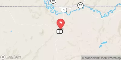
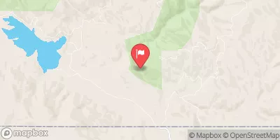
 Lower Cogdill