Lake Forest Reservoir Report
Nearby: Town Center Linn And Clark
Last Updated: February 22, 2026
Located in Archuleta County, Colorado, Lake Forest is a privately owned Earth dam that was completed in 1974.
Summary
With a primary purpose of serving as a Fish and Wildlife Pond, this reservoir has a storage capacity of 490 acre-feet and a surface area of 42 acres. Situated along Martinez Creek, this low hazard dam has a satisfactory condition assessment and a risk assessment rating of High (2).
Managed by the Colorado Division of Water Resources, Lake Forest is regulated by the state and subject to regular inspections, permitting, and enforcement actions. Despite its low hazard potential, the dam has a maximum discharge capacity of 525 cubic feet per second and a hydraulic height of 19 feet. While the dam does not have a spillway, it has a structural height of 21 feet and a length of 1400 feet.
With its tranquil setting and recreational opportunities, Lake Forest not only serves as a vital habitat for fish and wildlife but also provides a scenic escape for outdoor enthusiasts. The dam's location in the picturesque city of Blanco, NM, just 55 miles from the nearest town, offers a unique blend of natural beauty and conservation efforts, making it an ideal destination for water resource and climate enthusiasts to explore and appreciate.
°F
°F
mph
Wind
%
Humidity
15-Day Weather Outlook
Year Completed |
1974 |
Dam Length |
1400 |
Dam Height |
23 |
River Or Stream |
MARTINEZ CREEK |
Primary Dam Type |
Earth |
Surface Area |
42 |
Hydraulic Height |
19 |
Nid Storage |
490 |
Structural Height |
21 |
Hazard Potential |
Low |
Nid Height |
23 |
Seasonal Comparison
5-Day Hourly Forecast Detail
Nearby Streamflow Levels
Dam Data Reference
Condition Assessment
SatisfactoryNo existing or potential dam safety deficiencies are recognized. Acceptable performance is expected under all loading conditions (static, hydrologic, seismic) in accordance with the minimum applicable state or federal regulatory criteria or tolerable risk guidelines.
Fair
No existing dam safety deficiencies are recognized for normal operating conditions. Rare or extreme hydrologic and/or seismic events may result in a dam safety deficiency. Risk may be in the range to take further action. Note: Rare or extreme event is defined by the regulatory agency based on their minimum
Poor A dam safety deficiency is recognized for normal operating conditions which may realistically occur. Remedial action is necessary. POOR may also be used when uncertainties exist as to critical analysis parameters which identify a potential dam safety deficiency. Investigations and studies are necessary.
Unsatisfactory
A dam safety deficiency is recognized that requires immediate or emergency remedial action for problem resolution.
Not Rated
The dam has not been inspected, is not under state or federal jurisdiction, or has been inspected but, for whatever reason, has not been rated.
Not Available
Dams for which the condition assessment is restricted to approved government users.
Hazard Potential Classification
HighDams assigned the high hazard potential classification are those where failure or mis-operation will probably cause loss of human life.
Significant
Dams assigned the significant hazard potential classification are those dams where failure or mis-operation results in no probable loss of human life but can cause economic loss, environment damage, disruption of lifeline facilities, or impact other concerns. Significant hazard potential classification dams are often located in predominantly rural or agricultural areas but could be in areas with population and significant infrastructure.
Low
Dams assigned the low hazard potential classification are those where failure or mis-operation results in no probable loss of human life and low economic and/or environmental losses. Losses are principally limited to the owner's property.
Undetermined
Dams for which a downstream hazard potential has not been designated or is not provided.
Not Available
Dams for which the downstream hazard potential is restricted to approved government users.
Area Campgrounds
| Location | Reservations | Toilets |
|---|---|---|
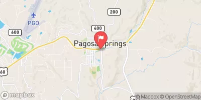
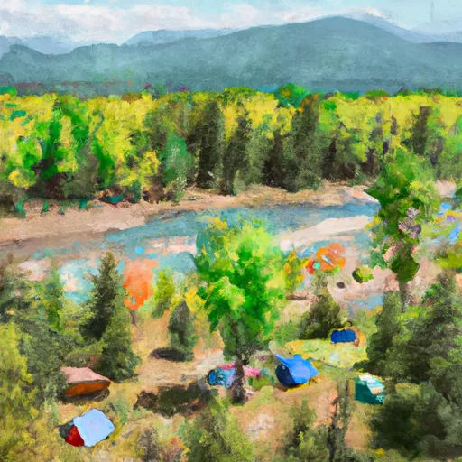 Pagosa Riverside Campground
|
||
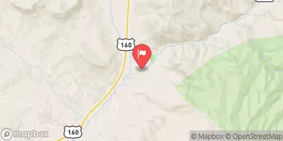
 Ute Campground
|
||
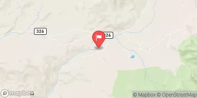
 Ute
Ute
|

 Lake Forest