Floodwater Ret Dam Ss-4.5 Reservoir Report
Last Updated: February 11, 2026
Located in Sedgwick, Colorado, Floodwater Retention Dam Ss-4.5 is a local government-owned structure designed by the USDA NRCS to mitigate flood risks along the South Platte River.
Summary
Completed in 1983, this earth dam stands at a height of 31 feet with a hydraulic height of 23 feet, providing a storage capacity of 246 acre-feet. With a primary purpose of flood risk reduction, the dam has a low hazard potential and is currently in satisfactory condition.
The dam features an uncontrolled spillway with a width of 52 feet and has a maximum discharge capacity of 1053 cubic feet per second. It covers a surface area of 18 acres and serves a drainage area of 1 square mile. Despite being inspected in 2015 and deemed satisfactory, the dam has an inspection frequency of 3 years to ensure its continued safety and effectiveness in flood control. With moderate risk assessment, Floodwater Retention Dam Ss-4.5 plays a crucial role in protecting the surrounding community from potential flood events in the region.
In case of emergencies, the dam does not have an Emergency Action Plan (EAP) prepared, and there is no updated information regarding its adherence to guidelines or the availability of inundation maps. Nevertheless, its strategic location and design make it a valuable asset in managing floodwaters and safeguarding the local area against the impacts of extreme weather events.
°F
°F
mph
Wind
%
Humidity
15-Day Weather Outlook
Year Completed |
1983 |
Dam Length |
1237 |
Dam Height |
26 |
River Or Stream |
SOUTH PLATTE-TR |
Primary Dam Type |
Earth |
Surface Area |
18 |
Hydraulic Height |
23 |
Drainage Area |
1 |
Nid Storage |
246 |
Structural Height |
31 |
Outlet Gates |
Uncontrolled - 0 |
Hazard Potential |
Low |
Foundations |
Soil |
Nid Height |
31 |
Seasonal Comparison
5-Day Hourly Forecast Detail
Nearby Streamflow Levels
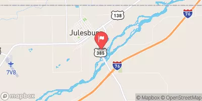
 S. Platte R. At Julesburg
|
-999cfs |
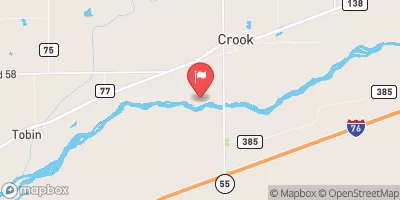
 South Platte River Near Crook
|
-999cfs |
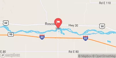
 South Platte River At Roscoe Nebr
|
163cfs |
Dam Data Reference
Condition Assessment
SatisfactoryNo existing or potential dam safety deficiencies are recognized. Acceptable performance is expected under all loading conditions (static, hydrologic, seismic) in accordance with the minimum applicable state or federal regulatory criteria or tolerable risk guidelines.
Fair
No existing dam safety deficiencies are recognized for normal operating conditions. Rare or extreme hydrologic and/or seismic events may result in a dam safety deficiency. Risk may be in the range to take further action. Note: Rare or extreme event is defined by the regulatory agency based on their minimum
Poor A dam safety deficiency is recognized for normal operating conditions which may realistically occur. Remedial action is necessary. POOR may also be used when uncertainties exist as to critical analysis parameters which identify a potential dam safety deficiency. Investigations and studies are necessary.
Unsatisfactory
A dam safety deficiency is recognized that requires immediate or emergency remedial action for problem resolution.
Not Rated
The dam has not been inspected, is not under state or federal jurisdiction, or has been inspected but, for whatever reason, has not been rated.
Not Available
Dams for which the condition assessment is restricted to approved government users.
Hazard Potential Classification
HighDams assigned the high hazard potential classification are those where failure or mis-operation will probably cause loss of human life.
Significant
Dams assigned the significant hazard potential classification are those dams where failure or mis-operation results in no probable loss of human life but can cause economic loss, environment damage, disruption of lifeline facilities, or impact other concerns. Significant hazard potential classification dams are often located in predominantly rural or agricultural areas but could be in areas with population and significant infrastructure.
Low
Dams assigned the low hazard potential classification are those where failure or mis-operation results in no probable loss of human life and low economic and/or environmental losses. Losses are principally limited to the owner's property.
Undetermined
Dams for which a downstream hazard potential has not been designated or is not provided.
Not Available
Dams for which the downstream hazard potential is restricted to approved government users.

 Floodwater Ret Dam Ss-4.5