Platoro Reservoir Reservoir Report
Nearby: Platoro Lake Annella
Last Updated: February 3, 2026
Platoro Reservoir is located in southern Colorado and was completed in 1951.
°F
°F
mph
Wind
%
Humidity
15-Day Weather Outlook
Summary
It has a capacity of 42,000 acre-feet and is fed by the Conejos River, which originates in the San Juan Mountains. The reservoir is used for irrigation and hydroelectric power generation, providing water to downstream agricultural communities. The area around Platoro Reservoir is also popular for recreational activities like fishing, camping, and hiking. The reservoir is fed by snowmelt and precipitation, and snowpack in the San Juan Mountains is a major contributor to its water levels. The reservoir is managed by the Conejos Water Conservancy District, which works to maintain water quality and ensure sustainable use of the resource for the surrounding communities.
Reservoir Details
| Storage 24hr Change | 0.03% |
| Percent of Normal | 116% |
| Minimum |
7,496.7 acre-ft
2020-10-28 |
| Maximum |
52,164.0 acre-ft
2023-06-27 |
| Average | 20,167 acre-ft |
Seasonal Comparison
Water Surface Elevation Levels
Storage Levels
Pool Elevation Levels
Total Release Levels
Hourly Weather Forecast
Nearby Streamflow Levels
Dam Data Reference
Condition Assessment
SatisfactoryNo existing or potential dam safety deficiencies are recognized. Acceptable performance is expected under all loading conditions (static, hydrologic, seismic) in accordance with the minimum applicable state or federal regulatory criteria or tolerable risk guidelines.
Fair
No existing dam safety deficiencies are recognized for normal operating conditions. Rare or extreme hydrologic and/or seismic events may result in a dam safety deficiency. Risk may be in the range to take further action. Note: Rare or extreme event is defined by the regulatory agency based on their minimum
Poor A dam safety deficiency is recognized for normal operating conditions which may realistically occur. Remedial action is necessary. POOR may also be used when uncertainties exist as to critical analysis parameters which identify a potential dam safety deficiency. Investigations and studies are necessary.
Unsatisfactory
A dam safety deficiency is recognized that requires immediate or emergency remedial action for problem resolution.
Not Rated
The dam has not been inspected, is not under state or federal jurisdiction, or has been inspected but, for whatever reason, has not been rated.
Not Available
Dams for which the condition assessment is restricted to approved government users.
Hazard Potential Classification
HighDams assigned the high hazard potential classification are those where failure or mis-operation will probably cause loss of human life.
Significant
Dams assigned the significant hazard potential classification are those dams where failure or mis-operation results in no probable loss of human life but can cause economic loss, environment damage, disruption of lifeline facilities, or impact other concerns. Significant hazard potential classification dams are often located in predominantly rural or agricultural areas but could be in areas with population and significant infrastructure.
Low
Dams assigned the low hazard potential classification are those where failure or mis-operation results in no probable loss of human life and low economic and/or environmental losses. Losses are principally limited to the owner's property.
Undetermined
Dams for which a downstream hazard potential has not been designated or is not provided.
Not Available
Dams for which the downstream hazard potential is restricted to approved government users.
Area Campgrounds
| Location | Reservations | Toilets |
|---|---|---|
 Mix Lake
|
||
 Mix Lake Campground
|
||
 Platoro Cabin 1
|
||
 Platoro Cabin 2
|
||
 Stunner Campground
|
||
 Stunner
|
Nearby Reservoirs
River Runs
-
 El Rito Azul--Blue Lake (Sec 26, T35N, R3E) And Portion Of Conejos Above Platoro Reservoir To Upper Reach Of Platoro Reservoir--Sec 6, T35N, R4E
-
 Middle Fork--Sec 13, T35N, R2E To Confluence Of Three Forks--Sec 14, T35N, R3E
-
 North Fork--Sec 8, T35N, R2E To Confluence With Middle Fork
-
 Sec 17, T35N, R4E To Sec 36, T35N, R4E
-
 South Fork--Sec 19, T35N, R4E To Sec 36, T35N, R4 1/2E
-
 Lake Fork--Confluence With South Fork To 1 Mile Below Town Of Platoro

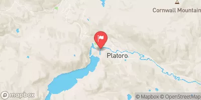
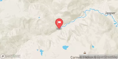
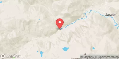
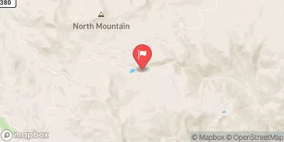
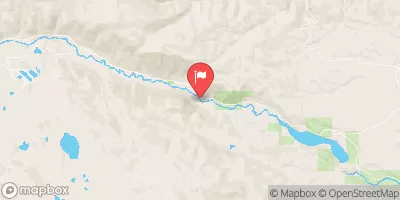
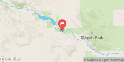
 Platoro Dike
 Platoro Reservoir
 Kerr Lake Fishing Site
 Lost Lake
 Poage Lake Fishing Site