Vega Reservoir Reservoir
As of July 20, 2026, Vega Reservoir is holding 7,521 acre-ft of water — 31% of normal storage for this date. Storage data refreshed throughout the day.

Vega Reservoir
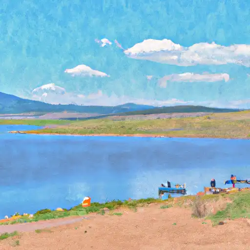
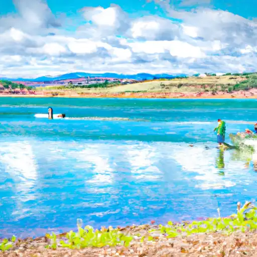
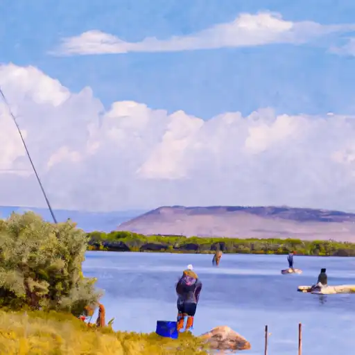
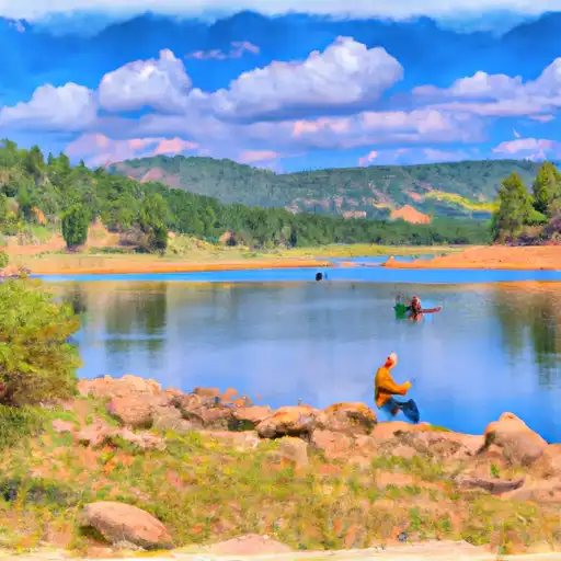
Vega Reservoir is a man-made lake located in western Colorado, near the town of Collbran. Constructed in 1963, the reservoir was created to store water for agricultural irrigation and municipal use. The reservoir has a capacity of 27,000 acre-feet and is fed by the Plateau Creek watershed, which includes snowmelt and surface runoff. The surrounding area is known for its agriculture, including orchards and cattle ranching. The reservoir also supports recreational activities, such as fishing, boating, and camping. It is stocked annually with rainbow and brown trout. Vega Reservoir is an important source of water for the region, and its management is critical to ensuring sustainable agriculture and recreation opportunities.
Daily levels at Vega Reservoir
Storage volume, pool elevation, and total release plotted from the operating agency's daily observations.
Storage
acre-ft · code 17
Inflow
cfs · code 29
Pool Elevation
ft · code 49
Total Release
cfs · code 42
Plan around the weather
Same NOAA / yr.no feed Snoflo's iOS app uses. Watch the precipitation column on the meteogram -- rain on the basin upstream typically lifts inflow 24-72 hours later.
Next 5 days, hour by hour
Temperature line with weather symbols on top, snow + rain accumulation as columns, humidity as a dotted line.
5-day forecast table
Every 3 hours, broken out across temperature, snow, rain, humidity, and wind. Each cell is colour-coded relative to the column min/max.
| Time | Condition | Temp (°F) | Snow (in) | Rain (in) | Humidity (%) | Wind (mps) | Wind dir |
|---|---|---|---|---|---|---|---|
| Loading detailed forecast… | |||||||
15-day temperature & precipitation
Daily temperatures, snow, and rain projected over the next two weeks.
Nearby streamflow gauges
USGS streamgauges around Vega Reservoir -- inflows here typically show up in storage 24-72 hours later.
| Streamgauge | Discharge | View |
|---|---|---|
| Big Creek At Upper Station | 5 cfs | → |
| West Divide Creek Near Raven | 0 cfs | → |
| Surface Creek Near Cedaredge | 31 cfs | → |
| E Fork Terror Cr Blw Cottonwood Stomp Nr Bowie | 0 cfs | → |
| Hubbard Creek Above Iron Point Gulch Nr Bowie | 6 cfs | → |
| Surface Creek At Cedaredge | 16 cfs | → |


About Vega Reservoir
Where does the data for Vega Reservoir come from?
Daily storage, pool elevation, and release rates are sourced from USGS, USBR, and USACE monitoring stations. Weather forecast comes from NOAA / yr.no -- the same feed Snoflo's iOS app uses.
How often is the report updated?
Storage observations are updated daily by the operating agency. The 15-day weather forecast refreshes throughout the day. Snoflo caches and renders the most recent observation -- check the "as of" timestamp on the storage card.
What does the Hazard hazard rating mean?
The Corps of Engineers' hazard potential classification grades probable consequences if the dam fails: High = probable loss of human life; Significant = no probable loss of human life but possible economic loss / environmental damage; Low = no probable loss of human life, only minor economic / environmental losses. See the Dam Data Reference card below for the full definitions.
What's "% of normal"?
The current storage value compared to the historical average storage on this calendar day. 100% = right on average; values above 100% mean above-normal storage (wet year); values below mean below-normal (dry year or drought).
Can I get alerts when storage crosses a threshold?
Yes -- alerts are managed in the Snoflo iOS app. Favorite this reservoir, set a threshold, and you'll get a push the moment conditions cross.